Bonnievale, Western Cape
Bonnievale is a settlement in Cape Winelands District Municipality in the Western Cape province of South Africa.
Bonnievale | |
|---|---|
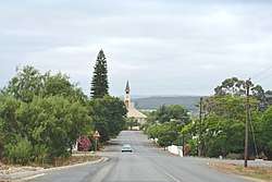 Church street in Bonnievale | |
 Bonnievale 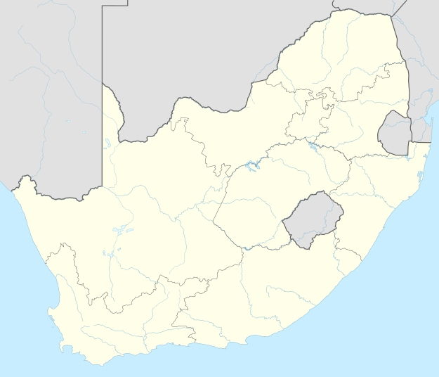 Bonnievale | |
| Coordinates: 33°55′39″S 20°6′2″E | |
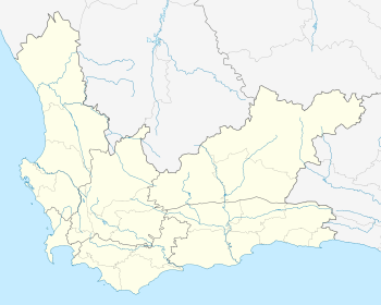
| Country | South Africa |
| Province | Western Cape |
| District | Cape Winelands |
| Municipality | Langeberg |
| Area | |
| • Total | 27.07 km2 (10.45 sq mi) |
| Population (2011)[1] | |
| • Total | 9,092 |
| • Density | 340/km2 (870/sq mi) |
| Racial makeup (2011) | |
| • Black African | 11.1% |
| • Coloured | 75.3% |
| • Indian/Asian | 0.2% |
| • White | 10.7% |
| • Other | 2.7% |
| First languages (2011) | |
| • Afrikaans | 89.7% |
| • Xhosa | 6.0% |
| • English | 1.7% |
| • Sotho | 1.3% |
| • Other | 1.3% |
| Time zone | UTC+2 (SAST) |
| Postal code (street) | 6730 |
| PO box | 6730 |
| Area code | 023 |
Town 64km south-east of Worcester, in the Breede River Valley. Founded in 1922 and named after the railway siding which had been called Vale since its opening in 1902 and Bonnie Vale in 1917. Municipal status was gained in April 1953.[2]
Gallery
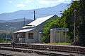
Old station building, 1922 – 2012 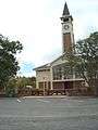
NG Church, built c. 1922 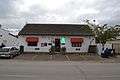
DJ le Roux Museum 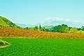
Weltevrede vineyards
gollark: It would be unlyrical, but he *could*.
gollark: How do you know he's not using gtkcord or something?
gollark: Says the person who made *zero* correct guesses.
gollark: heav.osmarks.net is still apparently a teapot.
gollark: Idea: prometheus metrics endpoint for osmarksgraph™ integration.
References
- "Main Place Bonnievale". Census 2011.
- "Dictionary of Southern African Place Names (Public Domain)". Human Science Research Council. p. 89.
Municipalities and communities of Cape Winelands District Municipality, Western Cape | ||
|---|---|---|
District seat: Stellenbosch | ||
| Witzenberg | .svg.png) Cape Winelands District within South Africa | |
| Drakenstein | ||
| Stellenbosch | ||
| Breede Valley | ||
| Langeberg | ||
This article is issued from Wikipedia. The text is licensed under Creative Commons - Attribution - Sharealike. Additional terms may apply for the media files.