Bongka River
Bongka River is a river in Central Sulawesi, Indonesia, about 1700 km northeast of capital Jakarta[1][2]
| Bongka River Sungai Bongka, Sungai Bangka, Salo Bongka, Sungai Kalingsu, Salo Kalingsoe | |
|---|---|
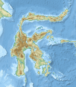 Location of river mouth 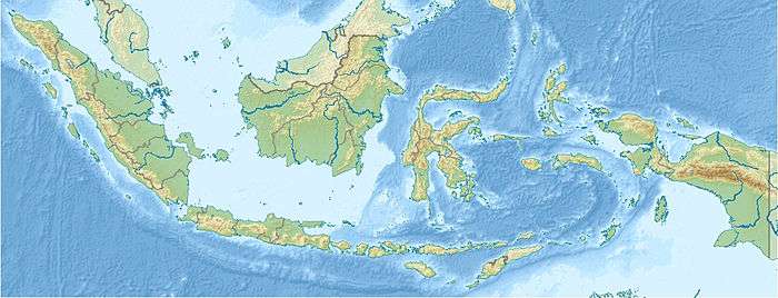 Bongka River (Indonesia) | |
| Location | |
| Country | Indonesia |
| Physical characteristics | |
| Source | |
| • location | Central Sulawesi |
| Mouth | Gulf of Tomini |
Geography
The river flows in the central area of Sulawesi island with predominantly tropical rainforest climate (designated as Af in the Köppen-Geiger climate classification).[3] The annual average temperature in the area is 23 °C. The warmest month is October, when the average temperature is around 24 °C, and the coldest is April, at 22 °C.[4] The average annual rainfall is 2929 mm. The wettest month is April, with an average of 341 mm rainfall, and the driest is September, with 79 mm rainfall.[5]
| Sungai Bongka | ||||||||||||||||||||||||||||||||||||||||||||||||||||||||||||
|---|---|---|---|---|---|---|---|---|---|---|---|---|---|---|---|---|---|---|---|---|---|---|---|---|---|---|---|---|---|---|---|---|---|---|---|---|---|---|---|---|---|---|---|---|---|---|---|---|---|---|---|---|---|---|---|---|---|---|---|---|
| Climate chart (explanation) | ||||||||||||||||||||||||||||||||||||||||||||||||||||||||||||
| ||||||||||||||||||||||||||||||||||||||||||||||||||||||||||||
| ||||||||||||||||||||||||||||||||||||||||||||||||||||||||||||
gollark: > you parse WHILE executing the codeLike shellscripts!
gollark: macron.
gollark: Just `.clone()` all data constantly?
gollark: In most cases, if you need more than one mutable reference, you may need to apioreconsider your design.
gollark: https://en.wikipedia.org/wiki/R-tree
References
- Sungai Bongka at Geonames.org (cc-by); Last updated 17 January 2012; Database dump downloaded 27 November 2015
- Rand McNally, The New International Atlas, 1993.
- Peel, M C; Finlayson, B L; McMahon, T A (2007). "Updated world map of the Köppen-Geiger climate classification". Hydrology and Earth System Sciences. 11. doi:10.5194/hess-11-1633-2007.
- "NASA Earth Observations Data Set Index". NASA. 30 January 2016.
- "NASA Earth Observations: Rainfall (1 month – TRMM)". NASA/Tropical Rainfall Monitoring Mission. 30 January 2016.
This article is issued from Wikipedia. The text is licensed under Creative Commons - Attribution - Sharealike. Additional terms may apply for the media files.