Bishopstone, Swindon
Bishopstone is a village and civil parish in the Swindon unitary authority of Wiltshire, England, about 6 miles (10 km) east of Swindon, and on the county border with Oxfordshire. Since 1934 the parish has included the village of Hinton Parva.
| Bishopstone | |
|---|---|
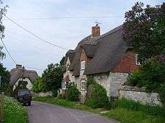
 High Street, Bishopstone | |
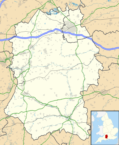
 Bishopstone Location within Wiltshire | |
| Population | 693 (in 2011)[1] |
| OS grid reference | SU246836 |
| Civil parish |
|
| Unitary authority | |
| Ceremonial county | |
| Region | |
| Country | England |
| Sovereign state | United Kingdom |
| Post town | Swindon |
| Postcode district | SN6 |
| Dialling code | 01793 |
| Police | Wiltshire |
| Fire | Dorset and Wiltshire |
| Ambulance | South Western |
| UK Parliament | |
| Website | Parish Council |
Bishopstone lies on the north slope of the Lambourn Downs, overlooking the Vale of White Horse. It is between Wanborough and Ashbury on the historic Icknield Way. The village has a public house, the Royal Oak,[2] and a number of thatched cottages, centred on a mill-pond.
The village is often used as a base for walkers on the Ridgeway National Trail. The Ridgeway above Bishopstone is a Byway open to motor vehicles between April and October.
On the downs above Bishopstone are ancient field systems known as lynchets and many other historic earth-workings.
References
- "Bishopstone, Swindon - 2011 Census". Neighbourhood Statistics. Office for National Statistics. Retrieved 23 October 2015.
- "Helen Browning at The Royal Oak". Archived from the original on 22 August 2015. Retrieved 23 October 2015.
External links
![]()