Birkat Al Awamer
Birkat Al Awamer (Arabic: بركة العوامر, romanized: Birkat al ‘Awāmir) is a district in Qatar located in the municipality of Al Wakrah.[2][3] Manateq Qatar established the Birkat Al Awamer Logistics Park in the district, which spans an area of 9,381,885 m².[4]
Birkat Al Awamer بركة العوامر | |
|---|---|
District | |
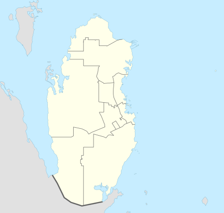 Birkat Al Awamer Location in Qatar | |
| Coordinates: 25.0762°N 51.4901°E[1] | |
| Country | Qatar |
| Municipality | Al Wakrah |
Nearby settlements include Al Afja Mesaieed and Mesaieed to the east and Abu Sulba to the north, and Umm Al Houl to the northeast.[3]
Etymology
The first part of the district's name is derived from the Arabic term "birka", which in Qatar is used to describe a depression that holds water. The second constituent, "awamer", is the name of a local Arab tribe that settled the area.[3]
gollark: They might struggle to write *idiomatic* Haskell.
gollark: I sort of know it, or at least can write reasonably working code in it even if I don't have an intuitive grasp of the weird underlying category theory stuff, but it's really annoying to do the sort of things my code usually involves in it. It's great for stuff like compilers and complex algorithms at least.
gollark: Haskell is very useful if you need to comonadize a zygohistomorphic prepromorphism.
gollark: Something about "explore-exploit tradeoffs".
gollark: I have a book called "Algorithms to Live By" which I think mentions something like that.
References
- "Birkat al 'Awāmir". mapcarta.com. Retrieved 4 January 2019.
- "Qatar Development Atlas - Part 1" (PDF). Ministry of Development Planning and Statistics. 2010. p. 10. Retrieved 4 January 2019.
- "District map". The Centre for Geographic Information Systems of Qatar. Retrieved 4 January 2019.
- "Birkat Al Awamer". Manateq. Retrieved 4 January 2019.
| Zone 90 |
|
|---|---|
| Zone 91 |
|
| Zone 92 |
|
| Zone 93 | |
| Zone 94 | |
| Zone 95 | |
| Zone 98 | |
This article is issued from Wikipedia. The text is licensed under Creative Commons - Attribution - Sharealike. Additional terms may apply for the media files.