Bembereke Airport
Bembéréké Airport (ICAO: DBBR), also spelled as Bembèrèkè Airport, is a public use airport located 4 km northeast of Bembéréké, Borgou, Benin.
Bembéréké Airport | |||||||||||
|---|---|---|---|---|---|---|---|---|---|---|---|
| Summary | |||||||||||
| Airport type | Public | ||||||||||
| Serves | Bembéréké | ||||||||||
| Location | |||||||||||
| Elevation AMSL | 1,188 ft / 362 m | ||||||||||
| Coordinates | 10°16′23.0″N 2°41′45.1″E | ||||||||||
| Map | |||||||||||
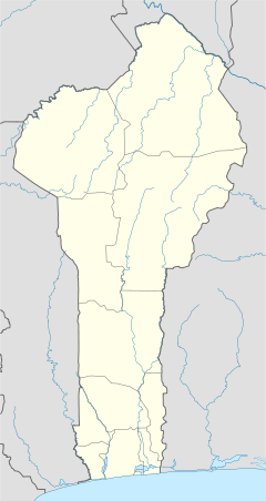 DBBR Location of Bembéréké Airport in Benin | |||||||||||
| Runways | |||||||||||
| |||||||||||
References
- Airport record for Bembéréké Airport at Landings.com. Retrieved 2013-08-09
- Google (2013-08-09). "location of Bembéréké Airport" (Map). Google Maps. Google. Retrieved 2013-08-09.
This article is issued from Wikipedia. The text is licensed under Creative Commons - Attribution - Sharealike. Additional terms may apply for the media files.