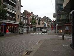
Aalter
Aalter (Dutch pronunciation: [ˈaːltər]) is a municipality located between Bruges and Ghent in the Belgian province of East Flanders. The municipality comprises the towns of Aalter, Bellem, Lotenhulle, Poeke, Knesselare and Ursel. It is bordered on the north by Maldegem, on the east by Zomergem and Nevele, on the south by Deinze, and on the west by the province of West Flanders. On January 1, 2007, Aalter had a total population of 18,887. The total area is 81.92 km² which gives a population density of 231 inhabitants per km². The mayor is Pieter De Crem.
Aalter | |
|---|---|
 | |
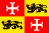 Flag  Coat of arms | |
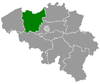
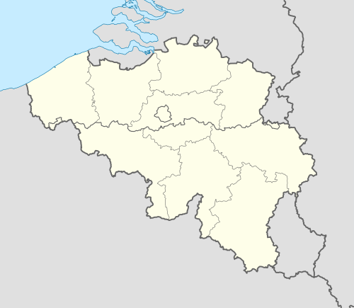 Aalter Location in Belgium
Location of Aalter in East Flanders 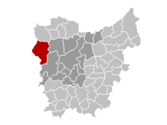 | |
| Coordinates: 51°05′N 03°27′E | |
| Country | Belgium |
| Community | Flemish Community |
| Region | Flemish Region |
| Province | East Flanders |
| Arrondissement | Ghent |
| Government | |
| • Mayor | Pieter De Crem (CD&V) |
| • Governing party/ies | CD&V |
| Area | |
| • Total | 81.92 km2 (31.63 sq mi) |
| Postal codes | 9880 |
| Area codes | 09 |
| Website | www.aalter.be |
Effective 1 January 2019, the municipality of Knesselare was merged into Aalter.
Gallery
.JPG)
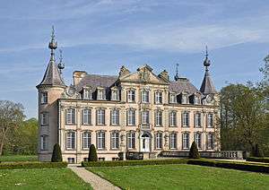
.jpg) Mariahove castle in Bellem
Mariahove castle in Bellem
gollark: > is it legal to waterboard gollark with alcohol<@319753218592866315> It is not.
gollark: Immortality is currently beyond the reach of extant technology, sadly?
gollark: Energy Conversion, Renewable Energy and Smart Grids you.
gollark: Interesting. However, it also causes liver badness, temporary extreme stupidity and hangovers.
gollark: It's a *great* activity.
See also
References
External links

- Official website - Only available in Dutch
- Page about Aalter on rootsweb.com
Places adjacent to Aalter | |
|---|---|
This article is issued from Wikipedia. The text is licensed under Creative Commons - Attribution - Sharealike. Additional terms may apply for the media files.