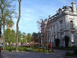
Destelbergen
Destelbergen (Dutch pronunciation: [ˌdɛstəlˈbɛrɣə(n)]) is a municipality located in the Belgian province of East Flanders. The municipality comprises the towns of Destelbergen proper and Heusden and was created on January 1, 1977, by the fusion of these two municipalities. Its western border touches the municipality of Ghent and Melle and is formed by an ancient silted up branch of the river Scheldt.
Destelbergen | |
|---|---|
 | |
 Flag  Coat of arms | |
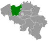
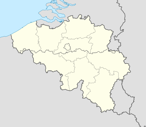 Destelbergen Location in Belgium
Location of Destelbergen in East Flanders 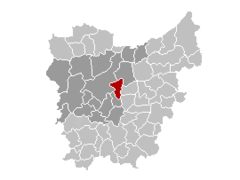 | |
| Coordinates: 51°3′N 3°48′E | |
| Country | Belgium |
| Community | Flemish Community |
| Region | Flemish Region |
| Province | East Flanders |
| Arrondissement | Ghent |
| Government | |
| • Mayor | Marc De Pauw (VLD) |
| • Governing party/ies | VLD, CD&V |
| Area | |
| • Total | 26.56 km2 (10.25 sq mi) |
| Population (2018-01-01)[1] | |
| • Total | 18,026 |
| • Density | 680/km2 (1,800/sq mi) |
| Postal codes | 9070 |
| Area codes | 09 |
| Website | www.destelbergen.be |
On January 1, 2011, Destelbergen had a total population of 17,636. The total area is 26.56 km² (10¼ square miles) which gives a population density of 664 inhabitants per km² (1720 per sq. mi.).
Attractions are the many residential castles, a Gaulish farmhouse, and the Damvallei nature reserve.
References
- "Wettelijke Bevolking per gemeente op 1 januari 2018". Statbel. Retrieved 9 March 2019.
External links

- Official website (in Dutch)
This article is issued from Wikipedia. The text is licensed under Creative Commons - Attribution - Sharealike. Additional terms may apply for the media files.