Belle Alliance, Louisiana
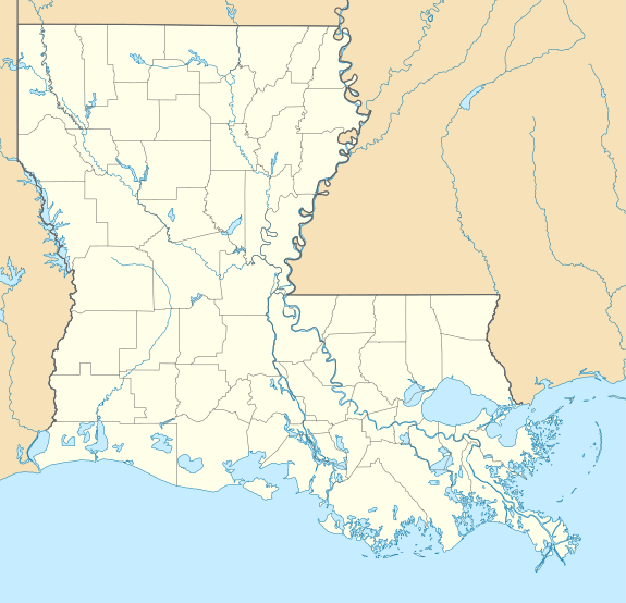
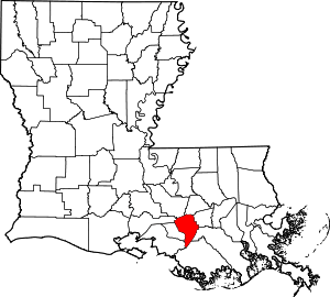
Belle Alliance is an unincorporated community in Assumption Parish, Louisiana, United States. It is part of the Pierre Part Micropolitan Statistical Area.
Belle Alliance | |
|---|---|
 Belle Alliance Location of Belle Alliance in Louisiana | |
| Coordinates: 30°6′0″N 90°59′39″W | |
| Country | United States |
| State | Louisiana |
| Parish | Assumption |
| Area | |
| • Total | 2.5 sq mi (6 km2) |
| • Land | 2.5 sq mi (6 km2) |
| • Water | 0.0 sq mi (0 km2) |
| Elevation | 26 ft (8 m) |
| Time zone | UTC-6 (CST) |
| • Summer (DST) | UTC-5 (CDT) |
| Area code(s) | 225 |
History
Belle Alliance is named after the Belle Alliance Plantation[1] located on the east bank of Bayou Lafourche in Assumption Parish, about five miles (8 km) out of Donaldsonville. During the 1770s, this 7,000-acre (28 km2) plot was granted to Don Juan Vives, a physician and military officer of the Spanish government.[2] The actual Belle Alliance Plantation was built by a successful sugar planter Charles Anton Kock, also owner of St. Emma Plantation around 1846.[3]
Today, the site is known as the community of Belle Alliance. The plantation is listed on the National Register of Historic Places.
References
- Leeper, Clare D'Artois (19 October 2012). Louisiana Place Names: Popular, Unusual, and Forgotten Stories of Towns, Cities, Plantations, Bayous, and Even Some Cemeteries. LSU Press. p. 38. ISBN 978-0-8071-4740-5.
- www.rootsweb.com "BELLE ALLIANCE PLANTATION"
- www.discoverourtown.com "Belle Alliance Plantation"
