Bartley Township, Griggs County, North Dakota
Bartley Township[3] is a township in Griggs County, North Dakota, US.
Bartley Township, North Dakota | |
|---|---|
Township | |
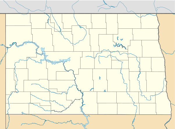 Bartley Township, North Dakota Location within the state of North Dakota | |
| Coordinates: 47°17′01″N 98°16′40″W | |
| Country | United States |
| State | North Dakota |
| County | Griggs County |
| Township | Bartley Township |
| Area | |
| • Total | 34.32 sq mi (88.9 km2) |
| Elevation | 1,427 ft (435 m) |
| Population (2010) | |
| • Total | 44 |
| • Density | 0.7/sq mi (0.3/km2) |
| Time zone | UTC-6 (Central (CST)) |
| • Summer (DST) | UTC-5 (CDT) |
| Postal Code(s)[1] | 58448 |
| Area code(s) | 701 |
| GNIS feature ID | 1036635 |
| Census Code | 05180 |
| Census Class Code | T1 |
| Website | Griggs County |
| Historical population | |||
|---|---|---|---|
| Census | Pop. | %± | |
| 1890 | 101 | — | |
| 1900 | 214 | 111.9% | |
| 1910 | 216 | 0.9% | |
| 1920 | 209 | −3.2% | |
| 1930 | 221 | 5.7% | |
| 1940 | 157 | −29.0% | |
| 1950 | 120 | −23.6% | |
| 1960 | 102 | −15.0% | |
| 1970 | 75 | −26.5% | |
| 1980 | 48 | −36.0% | |
| 1990 | 46 | −4.2% | |
| 2000 | 31 | −32.6% | |
| 2010 | 25 | −19.4% | |
| Est. 2018[2] | 23 | −8.0% | |
Demographics
Its population during the 2010 Census was 25.[4]
Location within Griggs County
Bartley Township is located in Township 144 Range 60 west of the Fifth principal meridian.[5]
| Range 61 | Range 60 | Range 59 | Range 58 | |
|---|---|---|---|---|
| Township 148 | Rosendal | Willow | Pilot Mound | Lenora |
| Township 147 | Bryan | Addie | Tyrol | Romness |
| Township 146 | Kingsley | Clearfield | Cooperstown | Washburn |
| Township 145 | Mabel | Helena | Ball Hill | Sverdrup |
| Township 144 | Dover | Bartley | Greenfield | Broadview |
gollark: ++fortune
gollark: All resolved.
gollark: ++delete any complaints about <@!509849474647064576> typing
gollark: Is it such a bad thing?
gollark: Briefly.
References
Municipalities and communities of Griggs County, North Dakota, United States | ||
|---|---|---|
| Cities | 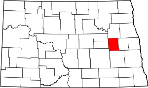 Map of North Dakota highlighting Griggs County | |
| Townships | ||
| CDPs | ||
| Unincorporated communities | ||
Category:Townships in Griggs County, North Dakota Category:Townships in North Dakota
This article is issued from Wikipedia. The text is licensed under Creative Commons - Attribution - Sharealike. Additional terms may apply for the media files.