Ballynahinch (barony)
Ballynahinch (Irish: Baile na hInse) is a barony in west County Galway, Ireland. It sits on the Atlantic coast to the west. The village of Ballynahinch is named after the barony.[1]
Ballynahinch Baile na hInse | |
|---|---|
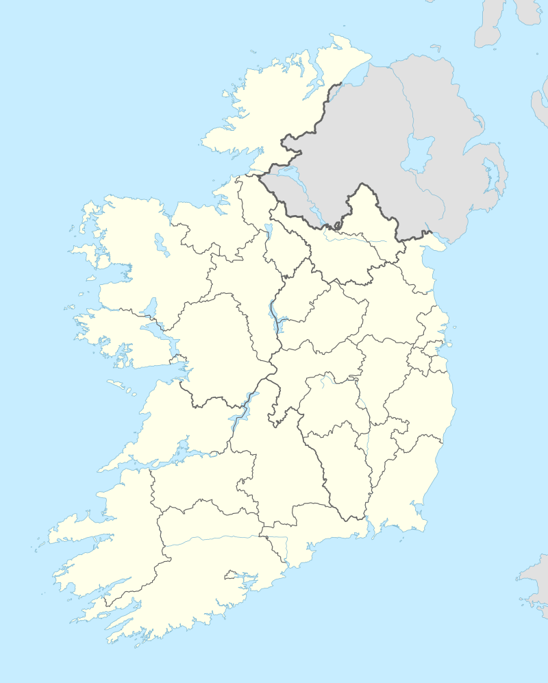 Ballynahinch Location in Ireland | |
| Coordinates: 53°27′48″N 9°54′10″W | |
| Country | Ireland |
| Province | Connacht |
| County | Galway |
| Area | |
| • Total | 800.4 km2 (309.0 sq mi) |
| Time zone | UTC+0 (WET) |
| • Summer (DST) | UTC+1 (IST (WEST)) |
Geography
Ballynahinch has an area of 800.4 acres (3.239 km2).[2]
The barony contains several large bodies of water, including Derryclare Lough, Glendallach Lough, Kylemore Lough and Lough Fee.
Several significant roads pass through the barony including the N59 and several regional roads, R341, R344.[3]
The Connemara National Park is also situated wholly within the barony.
Civil parishes
The barony contains five civil parishes: Ballindoon, Ballynakill, Inishbofin, Moyrus and Omey
Places of interest
gollark: Wyvern now has an acronym: `Working Yet Veritably Excellent Retrieval Network`. You must now all use it as it is now 1000 times better.
gollark: I have a repeater connecting my wired network to wireless.
gollark: Try the blowtorch approach.
gollark: If your GPU temperature is above -273K then you have a cooling problem.
gollark: People of Earth! I'd like to request about ten thousand dirt. If people have spare dirt, please send it to me.
References
- "Ballynahinch". www.townlands.ie. Retrieved 2020-07-20.
- "Baile na hInse/Ballynahinch". Logainm.ie. Retrieved 2020-07-20.
- "Relation: Ballynahinch (4131109)". OpenStreetMap. Retrieved 2020-07-20.
Places in County Galway | ||
|---|---|---|
| Towns |  | |
| Villages |
| |
| Townlands | ||
| Baronies | ||
| Islands | ||
| ||
This article is issued from Wikipedia. The text is licensed under Creative Commons - Attribution - Sharealike. Additional terms may apply for the media files.