Arzos Peak
Arzos Peak (Bulgarian: Връх Арзос, romanized: vrah Arzos, IPA: [ˈvrɤx ˈarzos]) is the sharp rocky peak on the west side of northern Sentinel Range in Ellsworth Mountains, Antarctica rising to 1970 m on the side ridge extending from a peak standing on the main crest of the range just north-northwest of Mount Dawson. Arzos is the ancient Thracian name of Sazliyka River in Southern Bulgaria.
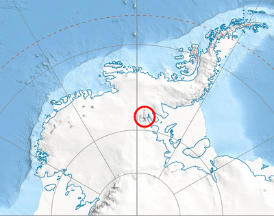
Location of Sentinel Range in Western Antarctica.
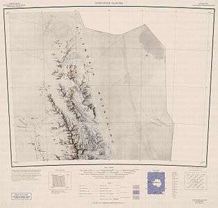
Map of northern Sentinel Range.
Location
Arzos Peak is located at 77°48′37″S 86°42′50″W, which is 10.4 km southwest of Mount Crawford, 10.22 km west of Mount Dawson, 15 km northwest of Mursalitsa Peak and 18.65 km southeast of Fisher Nunatak. US mapping in 1961.
gollark: As someone who never makes any mistakes, I don't need a programming language to hold my hand!
gollark: And the thing (a mobile bee deployment platform) needs that DMP thing to track its orientation.
gollark: The code is all running on an RPi, but the "DMP" features in the MPU6050 are poorly documented and the reverse engineered drivers are in C++.
gollark: Unfortunately, I'm working on a robotics thing for which I have to use C++ due to bad drivers for an accelerometer/gyroscope chip.
gollark: Which is gibson.
See also
- Mountains in Antarctica
Maps
- Newcomer Glacier. Scale 1:250 000 topographic map. Reston, Virginia: US Geological Survey, 1961.
- Antarctic Digital Database (ADD). Scale 1:250000 topographic map of Antarctica. Scientific Committee on Antarctic Research (SCAR). Since 1993, regularly updated.
References
- Arzos Peak. SCAR Composite Gazetteer of Antarctica.
- Bulgarian Antarctic Gazetteer. Antarctic Place-names Commission. (details in Bulgarian, basic data in English)
External links
- Arzos Peak. Copernix satellite image
This article includes information from the Antarctic Place-names Commission of Bulgaria which is used with permission.
| General |
| .svg.png) |
|---|---|---|
| Geographic regions | ||
| Waterways | ||
| Famous explorers | ||
This article is issued from Wikipedia. The text is licensed under Creative Commons - Attribution - Sharealike. Additional terms may apply for the media files.