Arapai
Arapai is a settlement in Eastern Uganda. It is a suburb of the town of Soroti, in Soroti District, in the Teso sub-region.
Arapai | |
|---|---|
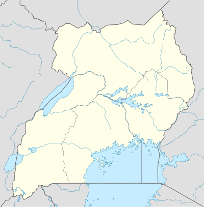 Arapai Map of Uganda showing the location of Arapai. | |
| Coordinates: 01°46′48″N 33°37′30″E | |
| Country | Uganda |
| Region | Eastern Region |
| Subregion | Teso sub-region |
| District | Soroti District |
| Elevation | 1,080 m (3,540 ft) |
| Time zone | UTC+3 (EAT) |
Location
Arapai is located approximately 8 kilometres (5.0 mi), by road, north of the central business district of the town of Soroti, on the road between Soroti, in Soroti District and Amuria in Amuria District.[1] This location is approximately 245 kilometres (152 mi), by road, northeast of Kampala, Uganda's capital city and largest metropolitan area.[2] The coordinates of Arapai are:1° 46' 48.00"N, 33° 37' 30.00"E (Latitude:1.7800; Longitude:33.6250).
Population
As of December 2013, the exact population of Arapai is not publicly known.
Points of interest
The following points of interest are found in or near Arapai:
- The Arapai Campus of Busitema University - Home to the Faculty of Crop and Animal Science.[3]
- The main campus of Soroti University of Science and Technology[4]
- The campus of Teso College - A boarding boys-only middle (S1-S4) and high (S5-S6) school
- The Soroti-Amuria Road - The road passes through Arapai.
gollark: I do first aid again.
gollark: First aid, I *guess*.
gollark: Healing.
gollark: I heal myself.
gollark: ++roll d3
External links
References
- Road Distance Between Soroti and Arapai with Map
- Map Showing Kampala and Arapai with Distance Marker
- "Location of Busitema University Campuses". Busitema.ac.ug. Archived from the original on 2013-07-27. Retrieved 2013-12-16.
- "Soroti University Leaders Named". Newvision.co.ug. Retrieved 2013-12-16.
Capital: Soroti | ||
| Towns and villages | 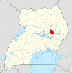 | |
| Economy |
| |
| Transport | ||
| Energy | ||
| Health |
| |
| Media |
| |
| Notable landmarks |
| |
| Education | ||
| Hospitality |
| |
| Notable people | ||
This article is issued from Wikipedia. The text is licensed under Creative Commons - Attribution - Sharealike. Additional terms may apply for the media files.