Anloga District
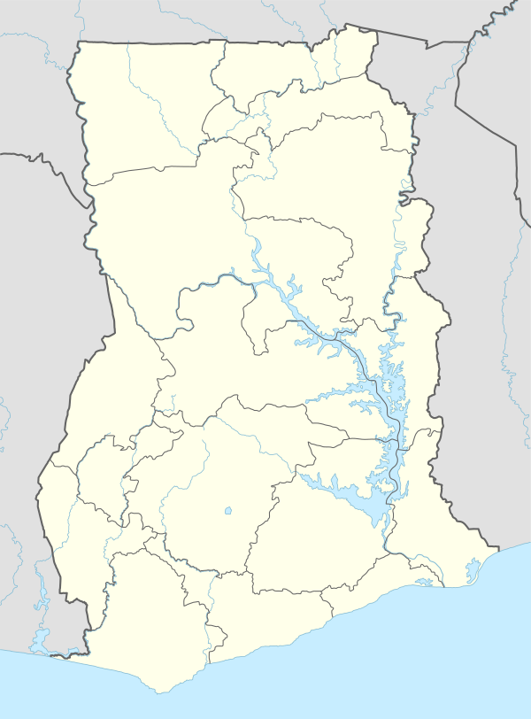
The Anloga District is one of the 18 districts in the Volta Region of Ghana. Its southern border is the Atlantic Ocean. To the east is the Ketu Municipal District. The Volta River forms the western border, beyond which is the Greater Accra Region and on the north is the South Tongu District.
Anloga District Aŋlɔga Nutome | |
|---|---|
District | |
.svg.png) Districts of the Volta Region | |
 Anloga District Location of Anloga District | |
| Coordinates: 5°47′13.7″N 0°53′25.8″E | |
| Country | Ghana |
| Region | Volta Region |
| District | Anloga District |
| Capital | Anloga |
| Created | 19 February 2019 |
| Government | |
| • District Chief Executive | Seth Yormewu |
| • Awormefia of Anlo | Togbui Sri III[1] |
| Time zone | UTC+0 (GMT) |
| • Summer (DST) | GMT |
| Ghana Post GPS | VK |
| Area code(s) | 03626 |
History
The district was one of six districts inaugurated by the Akufo-Addo government in February 2019.[2] It was carved out of the Ketu South Municipal District.[3]
Places
The largest town in the district is the capital, Anloga. Some of the villages include Alakple, Kedzie, Dzita.
People
The main ethnic group in the Anloga District are the Ewe people. The main Ewe group are the Anlo Ewe. Their leader and king is the Awormefia of Anlo, Togbui Sri III.[3]
Administration
The District administration is based at Anloga. The head of its administration is the District Chief Executive (DCE) who is appointed by the President of Ghana. The current DCE is Seth Yormenu.[4]
References
- "NEW ANLOGA DISTRICT INAUGURATED DESPITE HEAVY DOWNPOUR". ghananet.co.uk. 19 February 2019. Retrieved 21 July 2020.
- "Government to inaugurate six new districts today". ghanaweb.com. GhanaWeb. 19 February 2019. Retrieved 21 July 2020.
- "New Anloga District Inaugurated". voltaregion.gov.gh. Volta Regional Coordinating Council. Retrieved 21 July 2020.
- "Group wants Anlo DCE removed over alleged corruption". myjoyonline.com.gh. 18 September 2019. Retrieved 21 July 2020.
External links
- Official website
- Districts of Ghana at statoids.com.