Amana (CDP), Iowa
Amana is an unincorporated community and census-designated place (CDP) in Iowa County, Iowa, United States. It is one of the Amana Colonies, seven villages built by German Pietists in the 19th century. As of the 2010 census, Amana had a population of 442.[1]
Amana, Iowa | |
|---|---|
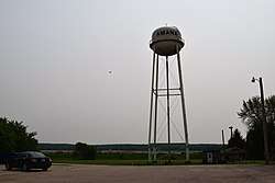 Amana water tower | |
 Amana  Amana | |
| Coordinates: 41°47′59″N 91°52′5″W | |
| Country | United States |
| State | Iowa |
| County | Iowa |
| Area | |
| • Total | 1.13 sq mi (2.92 km2) |
| • Land | 1.13 sq mi (2.92 km2) |
| • Water | 0.0 sq mi (0.0 km2) |
| Elevation | 735 ft (224 m) |
| Population (2010) | |
| • Total | 442 |
| • Density | 392/sq mi (151.5/km2) |
| Time zone | UTC-6 (Central (CST)) |
| • Summer (DST) | UTC-5 (CDT) |
| ZIP codes | 52203, 52204 |
| Area code(s) | 319 |
| FIPS code | 19-01720 |
| GNIS feature ID | 2629957 |
Geography
Amana is in northeastern Iowa County, on the south side of Price Creek in the valley of the Iowa River. It is bordered to the west by Lily Pond and the village of Middle Amana, while East Amana is to the east. U.S. Route 151 passes through Amana, leading northeast 19 miles (31 km) to Cedar Rapids and south 3 miles (5 km) to U.S. Route 6 at Homestead. Iowa Highway 220 leads west through the villages of Middle Amana, High Amana, and West Amana, ultimately reaching US 6 at South Amana, 7 miles (11 km) from Amana village.
According to the U.S. Census Bureau, the Amana CDP has an area of 1.1 square miles (2.9 km2), all land.
See also
References
- "Geographic Identifiers: 2010 Census Summary File 1 (G001): Amana CDP, Iowa". American Factfinder. U.S. Census Bureau. Archived from the original on February 13, 2020. Retrieved March 30, 2018.
Municipalities and communities of Iowa County, Iowa, United States | ||
|---|---|---|
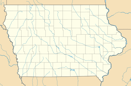
| Cities | Map of Iowa highlighting Iowa County | |
| Townships | ||
| CDPs | ||
| Footnotes | ‡This populated place also has portions in an adjacent county or counties | |