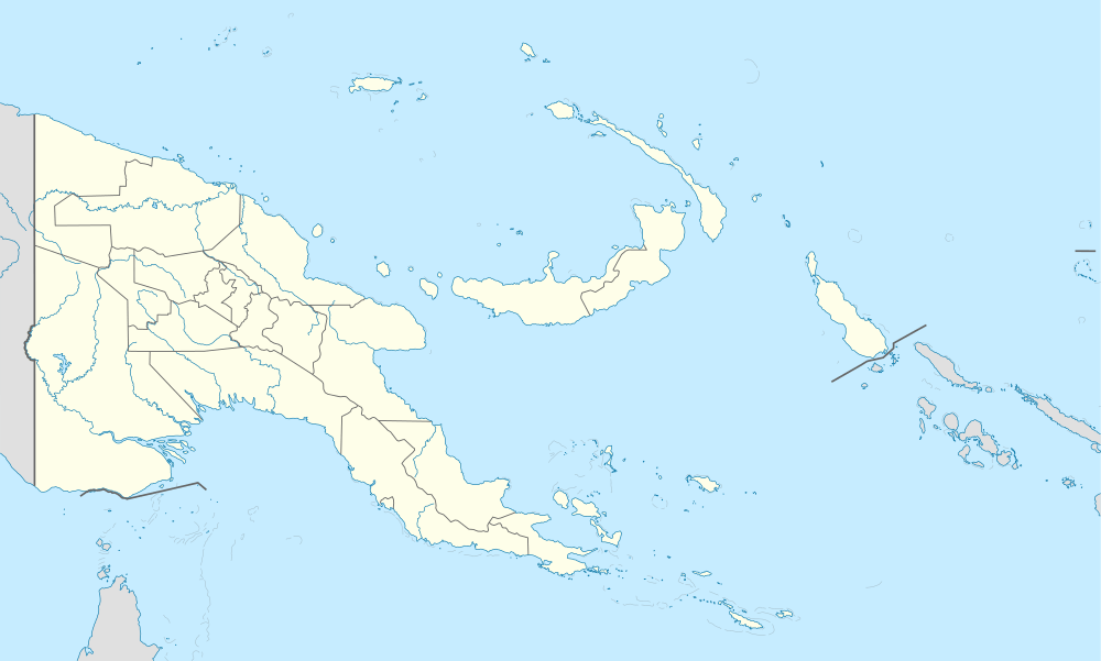
Alotau District
Alotau District is a district of the Milne Bay Province of Papua New Guinea.
Alotau District | |
|---|---|
 Alotau District Location within Papua New Guinea | |
| Coordinates: 7°58′S 145°46′E | |
| Country | Papua New Guinea |
| Province | Milne Bay Province |
| Capital | Alotau |
| Government | |
| • MP | Charles Abel |
| Area | |
| • Total | 7,835 km2 (3,025 sq mi) |
| Population (2011 census) | |
| • Total | 99,539 |
| • Density | 13/km2 (33/sq mi) |
| Time zone | UTC+10 (AEST) |
Location, LLGs and wards
Alotau District shares a border with Oro and Central provinces. It comprises 7 LLGs and 157 wards:
- Alotau urban (6 wards - the district seat).
- Daga (18 wards)
- Huhu (29 wards)
- Makamaka (27 wards)
- Maramatana (19 wards)
- Weraura (30 wards)
- Suau (28 wards)
Population and area
According to the 2011 census, 99,539 people live in the district, in which 12 different languages are spoken. The total land area covers 7,970.3 square kilometers.[1]
Link
gollark: I suspect your connection to the osmarksservers is spotty.
gollark: PotatOS mostly uses CraftOS for the shell and stuff.
gollark: It seems like you can't reach the potatOS/osmarks.tk backend servers, then.
gollark: I really should just shut down the background skynet link honestly.
gollark: Ignore that too and reboot?
This article is issued from Wikipedia. The text is licensed under Creative Commons - Attribution - Sharealike. Additional terms may apply for the media files.