Algapur
Algapur (Pron:/ˈalɡəˈpʊə/) is a town and Tehsil or Block in Hailakandi district in the state of Assam, India. It is located 32 km from District headquarters Hailakandi.
Algapur | |
|---|---|
Town | |
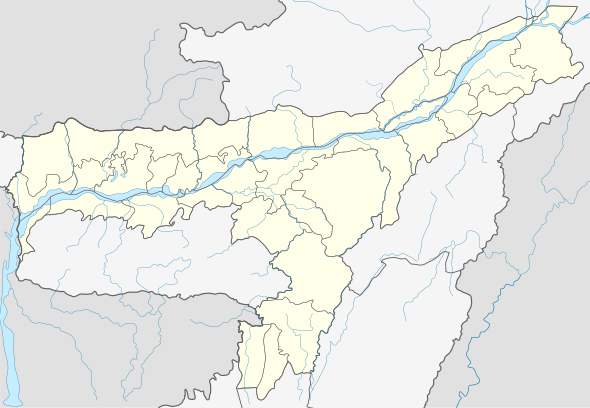
 Algapur Location in Assam, India  Algapur Algapur (India) | |
| Coordinates: 24.8668104°N 92.6872046°E | |
| Country | |
| State | Assam |
| District | Hailakandi |
| Elevation | 25 m (82 ft) |
| Population (2011) | |
| • Total | 2,732 |
| Languages | |
| • Official | Bengali, Sylheti |
| Time zone | UTC+5:30 (IST) |
| Vehicle registration | AS |
Geography
Algapur is located at 24.8668104°N 92.6872046°E.[1] It has an average elevation of 25 metres (82 feet).
Politics
Algapur is part of Karimganj (Lok Sabha constituency).[2]
gollark: Great! It'll have to wait until I restart Firefox.
gollark: I might have to release good™ CSS.
gollark: You can change that?
gollark: Oh, right, you're being wrong.
gollark: Something sans-serif.
References
- - Algapur
- "List of Parliamentary & Assembly Constituencies" (PDF). Assam. Election Commission of India. Archived from the original (PDF) on 4 May 2006.
This article is issued from Wikipedia. The text is licensed under Creative Commons - Attribution - Sharealike. Additional terms may apply for the media files.