Goreswar
Goreswar is a town in Baksa district (part of erstwhile Kamrup district till 2004), situated in north bank of river Brahmaputra, surrounded by Rangiya and Baihata[1]
Goreswar | |
|---|---|
Town | |
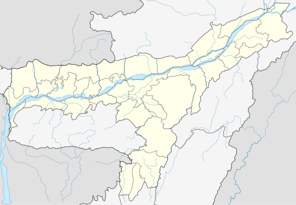
 Goreswar Location in Assam, India  Goreswar Goreswar (India) | |
| Coordinates: 26.54°N 91.73°E | |
| Country | |
| State | Assam |
| Region | Western Assam |
| District | Baksa |
| Elevation | 42 m (138 ft) |
| Languages | |
| • Official | Bodo (बर'), Assamese |
| Time zone | UTC+5:30 (IST) |
| PIN | 781366 |
| ISO 3166 code | IN-AS |
| Vehicle registration | AS |
| Website | baksa |
Transport
The town is located north of National Highway 31, and well connected to nearby towns and cities with regular buses and other modes of transportation.Goreswar Railway Station is the only Railway Station in the entire Baksa District.
gollark: https://git.osmarks.tk/osmarks/potatOS has documentation now!
gollark: You can try it now in an emulator.
gollark: No, a Minecraft mod.
gollark: It's for ComputerCraft.
gollark: Okay, useful may be a stretch.
References
- "Goreswar". pincode.org.in. Retrieved 18 September 2015.
This article is issued from Wikipedia. The text is licensed under Creative Commons - Attribution - Sharealike. Additional terms may apply for the media files.