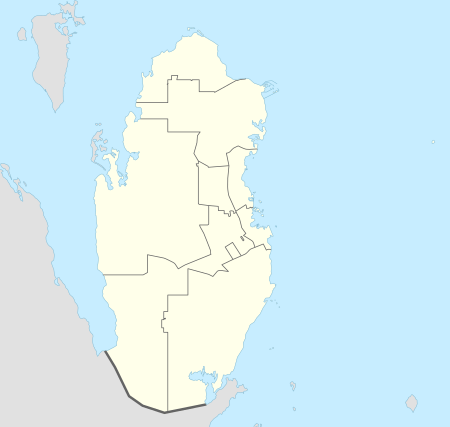
Al Rehayya
Al Rehayya (Arabic: الرحية, romanized: Ar Ruḩayyah) is a village in Qatar located in the municipality of Al Daayen.[3][4]
Al Rehayya الرحية | |
|---|---|
Village | |
 Al Rehayya Location in Qatar | |
| Coordinates: 25.629747°N 51.46584°E | |
| Country | |
| Municipality | Al Daayen |
| Zone | Zone 70 |
| District no. | 288 |
| Area | |
| • Total | 4.8 sq mi (12.4 km2) |
| Elevation | 30 ft (10 m) |
Nearby settlements include Al Heedan in Al Khor Municipality to the north, Umm Swayya in Al Khor Municipality to the west, and Tenbek to the south.[4]
Etymology
The village's name derives from the Arabic word "rehi", meaning "millstone". It received its name from a large, prominent rock in the village that looks similar to a millstone.[4]
gollark: LyricLy gets some money for no work, the person gets their shady thing, gnobody gets TONS of money purchasing-power-wise.
gollark: LyricLy take the job, make gnobody do it, pay gnobody half.
gollark: The solution here is obvious, actually.
gollark: I think you underestimate the difficulty of finding a job. And here there is a LOWER minimum wage for young people because government beeoid.
gollark: No offense, but WHO is going to pay you minimum wage for anything ever?
References
- "District Area Map". Ministry of Development Planning and Statistics. Retrieved 20 May 2019.
- "Al Rehayya, Zone 70, Qatar on the Elevation Map". elevationmap.net. Retrieved 4 January 2019.
- "Qatar Development Atlas - Part 1" (PDF). Ministry of Development Planning and Statistics. 2010. p. 10. Retrieved 4 January 2019.
- "District map". The Centre for Geographic Information Systems of Qatar. Retrieved 4 January 2019.
This article is issued from Wikipedia. The text is licensed under Creative Commons - Attribution - Sharealike. Additional terms may apply for the media files.