A' Mhaighdean
A' Mhaighdean is one of the least accessible of the munros in northern Scotland. It is 8 miles (13 km) north of Kinlochewe but most easily accessible from Poolewe, taking a private road South East (pedestrian & bicycle access only) to Kernsary. A good track then leads to the causeway between the Fionn Loch and Dubh Loch. Follow the path eastwards to about the 1,000 feet (300 m) level and cross the Allt Bruthach an Esain to gain the North West ridge of the mountain.
| A' Mhaighdean | |
|---|---|
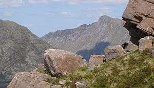
 View of A' Mhaighdean from Slioch | |
| Highest point | |
| Elevation | 967 m (3,173 ft) [1] |
| Prominence | 442 m (1,450 ft) |
| Listing | Munro, Marilyn |
| Coordinates | 57°43′11″N 5°20′46″W |
| Naming | |
| English translation | the maiden |
| Language of name | Gaelic |
| Pronunciation | Scottish Gaelic: [ə ˈvɤitʲan] |
| Geography | |
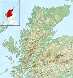
| Parent range | Northwest Highlands |
| OS grid | NH007749 |
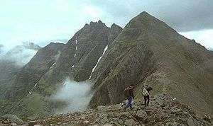
The mountain is composed of gneiss, the summit presenting the highest elevation of the Lewisian. Part of the North West ridge is capped by Torridonian sandstone.
Footnotes
- "walkhighlands A' Mhaighdean". walkhighlands.co.uk. 2014. Retrieved 14 January 2014.
gollark: My internet connection - or DC - always gets so slow whenever there's a drop happening soon.
gollark: DC: 99% Random Chance(and good internet)
gollark: Quite.
gollark: It *could* just be day-based or something.
gollark: What if the trick is to ask TJ09 politely?
This article is issued from Wikipedia. The text is licensed under Creative Commons - Attribution - Sharealike. Additional terms may apply for the media files.


