Černá Hora (Blansko District)
Černá Hora is a market town in the South Moravian Region of the Czech Republic. It has around 1,900 inhabitants.
Černá Hora | |
|---|---|
Town | |
.jpg) Aerial photo of Černá Hora | |
.svg.png) Flag  Coat of arms | |
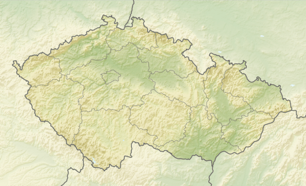 Černá Hora Location in the Czech Republic | |
| Coordinates: 49°24′32″N 16°34′46″E | |
| Country | Czech Republic |
| Region | South Moravian |
| District | Blansko |
| Area | |
| • Total | 16.28 km2 (6.29 sq mi) |
| Elevation | 328 m (1,076 ft) |
| Population (2012) | |
| • Total | 1,926 |
| • Density | 120/km2 (310/sq mi) |
| Time zone | UTC+1 (CET) |
| • Summer (DST) | UTC+2 (CEST) |
| Postal code | 679 21 |
| Website | www |
Name of the place (literary black mountain) come from a hill whose vegetation is darker than the neighbourhood.
Several trade paths crossed this place. First written mention about the location comes from 1279. Since 1390 it acquired township privileges. In Latin texts the place is called Nigromons or Czernahora in German texts Czernahora.
A castle with a church building inside the park are examples of preserved historical architecture and are protected by the state.
People
- Leopold Löw, rabbi, born here
gollark: It's not "free" if you pay for it.
gollark: No, the Hippocratic oath is "do no harm", not "help everyone maximally".
gollark: It's not an actual free market or a government system, just some crazy bureaucratic money-wasting mess.
gollark: America's health system is kind of horribly broken.
gollark: If you count "everyone who died but could technically have been saved with more resources given to them", then... well, that is an unreasonable assignment of blame.
External links

- Market town website (cz)
- photos of the castle
This article is issued from Wikipedia. The text is licensed under Creative Commons - Attribution - Sharealike. Additional terms may apply for the media files.