Tinson Pen Aerodrome
Tinson Pen Aerodrome (IATA: KTP, ICAO: MKTP) in Kingston, Jamaica is the largest of Jamaica's three domestic airports. It is located on Marcus Garvey Drive, a major highway that links Kingston to the nearby residential community of Portmore. The airport is also located near the Kingston Free Zone, a transshipment port. The airport caters mainly to business travellers. The airport also provides a vital commercial link between the cities of Kingston and Montego Bay.
Tinson Pen Aerodrome | |||||||||||
|---|---|---|---|---|---|---|---|---|---|---|---|
| Summary | |||||||||||
| Airport type | Public | ||||||||||
| Operator | Airports Authority of Jamaica | ||||||||||
| Serves | Kingston, Jamaica | ||||||||||
| Elevation AMSL | 16 ft / 5 m | ||||||||||
| Coordinates | 17°59′19″N 076°49′26″W | ||||||||||
| Map | |||||||||||
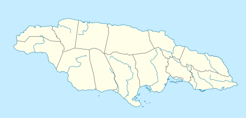 MKTP Location in Jamaica | |||||||||||
| Runways | |||||||||||
| |||||||||||
Tinson Pen Aerodrome handled approximately 92,091 passengers in 2001.[4] The airport formerly had scheduled passenger service provided by Air Jamaica Express and International AirLink.
Facilities
The airport is at an elevation of 16 ft (5 m) above mean sea level.[2] It has one runway designated 14/32 with an asphalt surface measuring 4,300 ft × 100 ft (1,311 m × 30 m). There is a 100LL fueling station and the airport supports night flight operations.[1]
Airlines and destinations
In June 2019, Jam Air Ltd. will be commencing daily domestic scheduled flights to and from Tinson Pen to Montego Bay and Negril. AirLink Express also offers domestic charters from Tinson Pen to all registered aerodromes across the country.
PRESSHA.
Passengers
The following table shows the number of passengers using the airport annually from 1997 through 2001.[4]
| 1997 | 1998 | 1999 | 2000 | 2001 | |
|---|---|---|---|---|---|
| Passengers | 62,079 | 71,380 | 87,572 | 89,887 | 92,091 |
References
- "Tinson Pen Aerodrome". Airports Authority of Jamaica. Retrieved 22 August 2011.
- Airport information for MKTP from DAFIF (effective October 2006)
- Airport information for KTP at Great Circle Mapper. Source: DAFIF (effective October 2006).
- "Domestic Aerodromes (Eastern Region)". Airports Authority of Jamaica. Archived from the original on 3 May 2007.