McMasterville, Quebec
McMasterville is a municipality in southwestern Quebec, Canada on the Richelieu River in La Vallée-du-Richelieu Regional County Municipality. The population as of the 2016 Canadian Census was 5,695. It is within the Administrative Region of Montérégie.
McMasterville | |
|---|---|
Municipality | |
.svg.png) Seal | |
 Location within La Vallée-du-Richelieu RCM. | |
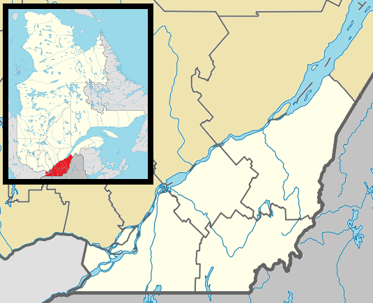 McMasterville Location in southern Quebec. | |
| Coordinates: 45°33′N 73°14′W[1] | |
| Country | |
| Province | |
| Region | Montérégie |
| RCM | La Vallée-du-Richelieu |
| Constituted | July 31, 1917 |
| Government | |
| • Mayor | Martin Dulac |
| • Federal riding | Beloeil—Chambly |
| • Prov. riding | Borduas |
| Area | |
| • Total | 3.40 km2 (1.31 sq mi) |
| • Land | 3.10 km2 (1.20 sq mi) |
| Population (2016)[4] | |
| • Total | 5,695 |
| • Density | 1,675/km2 (4,340/sq mi) |
| • Pop 2011-2016 | |
| • Dwellings | 2,285 |
| Time zone | UTC−5 (EST) |
| • Summer (DST) | UTC−4 (EDT) |
| Postal code(s) | J3G 6N9 |
| Area code(s) | 450 and 579 |
| Highways | |
| Website | www |
History
The town was founded in 1917 to house workers of the Canadian Explosives Limited which operated until 1998. The town is named after the first chairman of that company, William McMaster.
Geography
McMasterville is located along the Richelieu river, on the shore facing Mont St-Hilaire and Otterburn Park.
Demographics
PopulationPopulation trend:[5]
|
LanguageMother tongue language (2016)[6]
|
Education
The town is host to the École d'éducation internationale which offers secondary level education where students can follow the International Baccalaureate Middle Years Programme as defined by the IBO. A primary school, École la Farandole, is also present.
The South Shore Protestant Regional School Board previously served the municipality.[7]
Transportation
Since 2000, McMasterville is served by the McMasterville commuter rail station on the Réseau de transport métropolitain's Mont-Saint-Hilaire line. Local bus service is provided by the RTM.
See also
References
- Reference number 293915 of the Commission de toponymie du Québec (in French)
- Ministère des Affaires municipales, des Régions et de l'Occupation du territoire: McMasterville
- Parliament of Canada Federal Riding History: CHAMBLY--BORDUAS (Quebec)
- Profile, 2016 Census - McMasterville, Municipalité [Census subdivision
- Statistics Canada: 1996, 2001, 2006, 2011, 2016 census
- Government of Canada, Statistics Canada (2019-09-09). "Census Profile, 2016 Census - McMasterville, Municipalité [Census subdivision]". www12.statcan.gc.ca.
- King, M.J. (Chairperson of the board). "South Shore Protestant Regional School Board" (St. Johns, PQ). The News and Eastern Townships Advocate. Volume 119, No. 5. Thursday December 16, 1965. p. 2. Retrieved from Google News on November 23, 2014.
Adjacent Municipal Subdivisions | ||||||||||
|---|---|---|---|---|---|---|---|---|---|---|
| ||||||||||
| Cities |
|
|---|---|
| Municipalities |
|
| |