Ziegler Island
Ziegler Island (Russian: Остров Циглера; Ostrov Tsiglera) is an island in Franz Josef Land, Russia.
| Russian: Остров Циглера | |
|---|---|
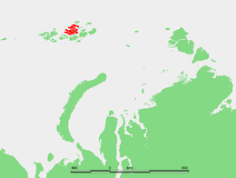 Location of the Zemlya Zichy subgroup of the Franz Josef Archipelago. Ziegler Island lies roughly in its center. | |
| Geography | |
| Location | Arctic |
| Coordinates | 81°06′N 56°11′E (?) |
| Archipelago | Zichy Land in Franz Josef Land |
| Area | 448 km2 (173 sq mi) |
| Highest elevation | 554 m (1,818 ft) |
| Administration | |
| Demographics | |
| Population | 0 |

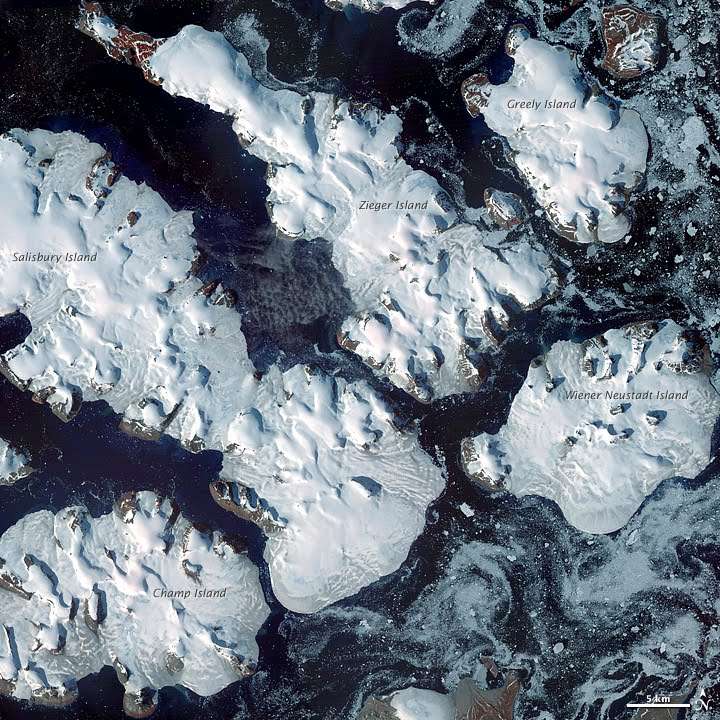
This island is 45 kilometres (28 miles) long, stretching from the NW to the SE. Its area is 448 square kilometres (173 square miles) and it is almost completely unglacierized. The highest point on Ziegler Island is 554 metres (1,818 feet). Ziegler Island is part of the Zichy Land subgroup of the Franz Josef Archipelago.
Adjacent islands
- Ostrov Ugol'noy Kopi is a round island wedged between Ziegler Island and Greely Island 80.9644°N 58.0461°E. It is about 3.5 kilometres (2.2 miles) in diameter. Highest point 393 m (1,289 ft). Unglacierized. Ugol'noy Kopi is separated from Ziegler island by a 600-metre-narrow (660-yard) sound.
History
This island was named after New York businessman William Ziegler, leader of the 1901 Baldwin-Ziegler North Pole Expedition, on ships America, Fridtjof and Belgica, and of the 1903–1905 Ziegler-Fiala Polar Expedition.[1] The Austrian observing site Payer–Weyprecht (probably 81°06′N 56°11′E) was established around the start of the 20th century on this island.
See also
- List of islands of Russia
- William Barr, The First Cruise into the Soviet Arctic.[2]
External links
- Island Names in Russian
- Arctic expeditions: