Yusuf Bayk
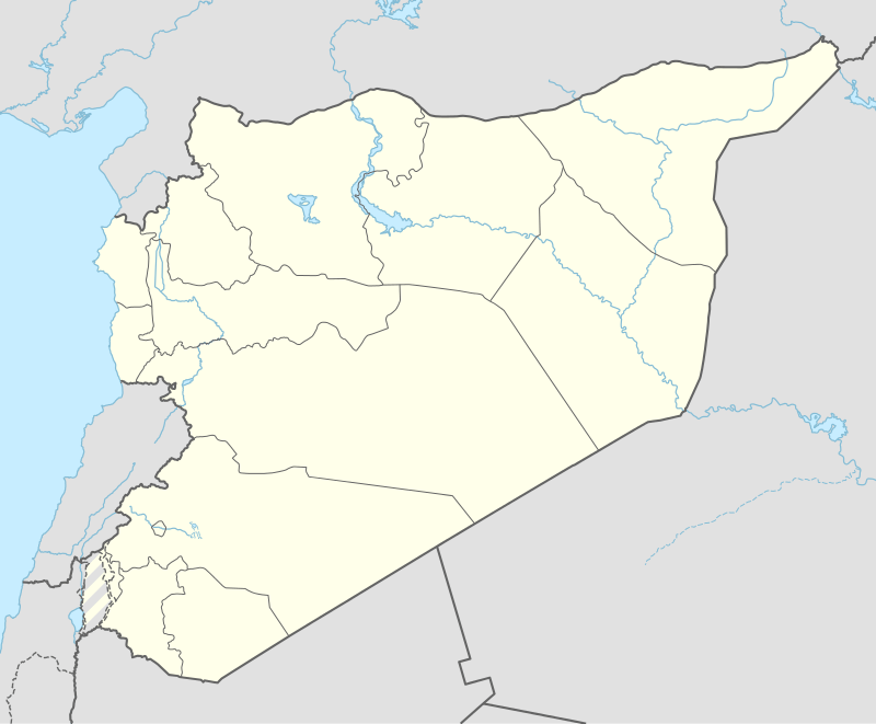
Yusuf Bey[1] (Turkish: Yusuf Bey, Arabic: يوسف باي) or Yusuf Bayk (Arabic: يوسف بك, romanized: Yūsuf Bayk) is a village in northern Aleppo Governorate, northern Syria. Situated on the northern Manbij Plain, halfway between Jarabulus and the lower course of Sajur River, the village is located about 9 kilometres (5.6 mi) west of river Euphrates and about 6 km (3.7 mi) south of the border with the Turkish province of Gaziantep, and it has many families of Turkish background and ethnicity.
Yusuf Bey[1] يوسف باي | |
|---|---|
Village | |
| Coordinates: 36°44′22″N 37°55′23″E | |
| Country | |
| Governorate | Aleppo |
| District | Jarabulus |
| Subdistrict | Jarabulus |
| Elevation | 414 m (1,358 ft) |
| Population (2004)[2] | 1,138 |
| Time zone | UTC+2 (EET) |
| • Summer (DST) | UTC+3 (EEST) |
| Geocode | C2236 |
With 1,138 inhabitants, as per the 2004 census, Yusuf Bayk administratively belongs to Nahiya Jarabulus within Jarabulus District.[2] Nearby localities include Haymar 2.5 km (1.6 mi) to the north, Qandariyah 3 km (1.9 mi) to the west, and Mazaalah 2 km (1.2 mi) to the southeast.
References
- Günümüzde Suriye Türkmenleri (in Turkish) - Suriye’de Değişimin Ortaya Çıkardığı Toplum: Suriye Türkmenleri. ORSAM Rapor № 83. ORSAM – Ortadoğu Türkmenleri Programı Rapor № 14. Ankara — November 2011.
- "2004 Census Data for Nahiya Jarabulus" (in Arabic). Syrian Central Bureau of Statistics. Also available in English: UN OCHA. "2004 Census Data". Humanitarian Data Exchange.
Capital: Aleppo | ||||||||||||||||||||
|  | |||||||||||||||||||
|
| ||||||||||||||||||||
| ||||||||||||||||||||
| ||||||||||||||||||||
| ||||||||||||||||||||
| ||||||||||||||||||||
| ||||||||||||||||||||
| ||||||||||||||||||||