Wheatley Heights, New York
Wheatley Heights is a census-designated place (CDP) in Suffolk County, New York, United States. The population was 5,130 at the 2010 census.[3] The CDP, located in the Town of Babylon, is named after the hamlet in the same general vicinity.
Wheatley Heights, New York | |
|---|---|
 U.S. Census map | |
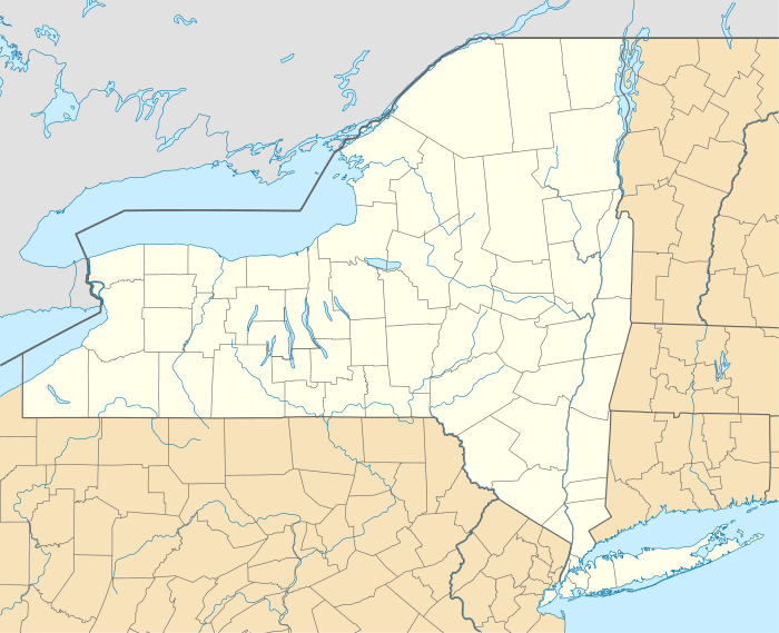 Wheatley Heights Location within the state of New York | |
| Coordinates: 40°45′43″N 73°22′1″W | |
| Country | United States |
| State | New York |
| County | Suffolk |
| Area | |
| • Total | 1.4 sq mi (3.5 km2) |
| • Land | 1.4 sq mi (3.5 km2) |
| • Water | 0.0 sq mi (0.0 km2) |
| Elevation | 102 ft (31 m) |
| Population (2010) | |
| • Total | 5,130 |
| • Density | 3,800/sq mi (1,500/km2) |
| Time zone | UTC-5 (Eastern (EST)) |
| • Summer (DST) | UTC-4 (EDT) |
| ZIP code | 11798 |
| Area code(s) | 631 |
| FIPS code | 36-81419[1] |
| GNIS feature ID | 1867425[2] |
History
Wheatley Heights historically was part of the hamlet of Wyandanch, and shares a ZIP code and fire brigade with it. The name Wyandanch was changed to Wheatley Heights by the Postmaster of Wyandanch Thomas A. Brown.
Geography
According to the United States Census Bureau, the CDP has a total area of 1.4 square miles (3.6 km2), all land.
Wheatley Heights is bordered by Dix Hills to the northeast, East Farmingdale to the west, Deer Park to the east, Wyandanch to the south, and Melville to the northwest.
Demographics of the CDP
As of the census[1] of 2000, and there were 5,013 people, 1,455 households, and 1,223 families residing in the CDP. The population density was 3,704.7 per square mile (1,433.7/km²). There were 1,494 housing units at an average density of 1,104.1/sq mi (427.3/km²). The racial makeup of the CDP was 40.00% White, 48.41% Black or African American, 0.30% Native American, 3.41% Asian, 4.15% from other races, and 3.73% from two or more races. Hispanic or Latino of any race were 11.67% of the population.
There were 1,455 households out of which 43.6% had children under the age of 18 living with them, 62.2% were married couples living together, 17.0% had a female householder with no husband present, and 15.9% were non-families. 13.0% of all households were made up of individuals and 5.2% had someone living alone who was 65 years of age or older. The average household size was 3.42 and the average family size was 3.67.
In the CDP, the population was spread out with 30.3% under the age of 18, 8.1% from 18 to 24, 29.9% from 25 to 44, 23.8% from 45 to 64, and 7.9% who were 65 years of age or older. The median age was 35 years. For every 100 females, there were 95.1 males. For every 100 females age 18 and over, there were 89.3 males.
The median income for a household in the CDP was $99,583. The per capita income for the CDP was $30,726. About 3.4% of families and 4.8% of the population were below the poverty line, including 7.6% of those under age 18 and 8.3% of those age 65 or over.
Notable residents
Notable residents have included Washington Redskins football player[4] Stephen Bowen,[5] Assemblywoman Kimberly Jean-Pierre, and all four members of 90's boy-band and R&B song-sation Soul 4 Real.
References
- "U.S. Census website". United States Census Bureau. Retrieved 2008-01-31.
- "US Board on Geographic Names". United States Geological Survey. 2007-10-25. Retrieved 2008-01-31.
- "Geographic Identifiers: 2010 Demographic Profile Data (G001): Wheatley Heights CDP, New York". U.S. Census Bureau, American Factfinder. Archived from the original on 2020-02-12. Retrieved 2013-01-10.
- "Stephen Bowen, DE for the Washington Redskins at NFL.com". NFL. 2013. Archived from the original on July 15, 2011. Retrieved December 27, 2013.
- "HOFSTRA SIGNS 13 STUDENT-ATHLETES ON FIRST NLI SIGNING DAY" (PDF) (Press release). Hofstra University. 2002. Archived (PDF) from the original on December 28, 2013. Retrieved December 27, 2013.