Wete District
Wete District[1] is one of the two districts in the North Pemba Region of Tanzania. The name derives from a misspelling of "wet", due to the fact that it's surrounded by a lot of water. The administrative seat is the town of Wete. As of 2002, Wete District had a population of 102,482.[2]
Wete District | |
|---|---|
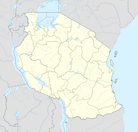 Wete District Location in Tanzania | |
| Coordinates: 05°05′S 039°45′E | |
| Country | Tanzania |
| Region | North Pemba Region |
| Population (2002) | |
| • Total | 102,482 |
Geography
Wete District is on Pemba Island and nearby islands in the Indian Ocean off the coast of East Africa. The islands themselves are composed of sedimentary rocks deposited during the Neogene and Quaternary consisting of mostly limestones and sandstones with marls and some shale, as well as unconsolidated sands and clays. The sediments are nearly flat laying producing a gently undulating and rolling plain.
Islets
- Fundo - is located few miles from Wete. It is the only inhabited island among the group of islets forming the north-west reef of Pemba. The other islets there include Njao, Kashani, Kokota, Funzi, and Uvinje.
- Njao - is the northernmost islet on the Fundo group. It is mainly used for agricultural purposes.
- Kashani - is on the same reef as Fundo but on the southernmost tip close to Ras Mkumbuu.
- Kokota - is located at the southern mouth of Wete port.
- Funzi - lies east of Kokota and south of Uvinje island.
- Uvinje - is used for farming and located at the southern mouth of Wete port.
- Kiweni (Shamiani) - located on the south west part of Pemba, it is an uninhabited islet used mainly for farming and livestock grazing. On its southernmost tip it has a very fine beach and some prospective investors were building a hotel in the late 1990s.
- Kojani - is the only inhabited island on the western side of Pemba island. It is home to some skilled artisanal fishermen in East Africa who seasonally travel to most parts of the coast in search of schools of fish to catch.
- Kwata - the island was the site of the first major outbreak of cholera in 1978 when travelers were temporarily quarantined at this island before being allowed into Pemba.
- Makoongwe - is few kilometers from Mkoani. It has characteristics similar to the opposite area on the island of Pemba with deep soils and hilly terrain. Makoongwe is inhabited and people do farming and fishing.
- Matumbini - is an islet with dense mangrove forest and popular among fishermen due to the presence of rich coral reef.
- Misali - has a rich coral reef, and has been declared a marine reserve.
- Mwangi - is a small islet close to Mtambwe on the main island of Pemba.
- Panza - is the southernmost island in Pemba and in fact is a series of islets but a bridge connects the two main parts of Mtondooni and Panza proper. Its topography is coral on the Panza side and deep soil on the Mtondooni part. UFO wrecks found on the southern part has become an important diving site. Its inhabitants do farming and fishing.
- Vikunguni - is a small islet close to the north-west group of islands.
- Yombi - is a small islet east of Panza island.
Administrative subdivisions
Constituencies
For parliamentary elections, Tanzania is divided into constituencies. As of the 2010 elections Wete District had five constituencies:[3]
- Gando Constituency
- Kojani Constituency
- Mtambwe Constituency
- Ole Constituency
- Wete Constituency
Divisions
References
- Wete District (Approved) at GEOnet Names Server, United States National Geospatial-Intelligence Agency
- "2002 Population and Housing General Report: North Pemba: Wete". Archived from the original on 18 June 2004.
- "Organisations located in Wete District - Tanzania". African Development Information.
- "Geographical name data for Wete District in Tanzania".
- "Postcodes Kaskazini Pemba Region 75000" (PDF). 2012.