Ulanga District
Ulanga District[1] (Mahenge District[2]) is one of the six districts of the Morogoro Region of Tanzania. the administrative seat is in Mahenge. It covers 24,460 square kilometres (9,444 sq mi) of which 4,927 square kilometres (1,902 sq mi) is in forest reserves.[3] Ulanga District is bordered to the north and west by the Kilombero District, to the east by the Lindi Region and to the south by the Ruvuma Region.
Ulanga District Mahenge District | |
|---|---|
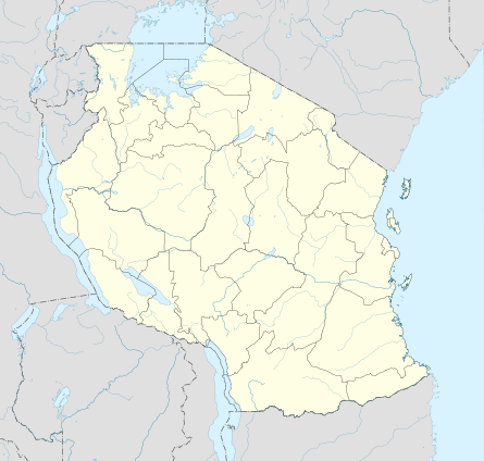 Ulanga District Location in Tanzania | |
| Coordinates: 09°00′S 036°40′E | |
| Country | Tanzania |
| Region | Morogoro Region |
| Population (2012) | |
| • Total | 265,203 |
Demographics
As of 2002, the population of the Ulanga District was 194,209.[4] According to the 2012 census the population had risen to 265,203 people.[5] The Wapogoro are the majority ethnic group in Ulanga District.[3]
Economy
Most people are employed in herding and subsistence farming, although there is some traditional fishing. Some mining is done in Lukande Ward.[3]
Roads are poor. There is one gravelled airstrip located in the Selous Game Reserve.[3]
Administrative subdivisions
Constituencies
For parliamentary elections, Tanzania is divided into constituencies. As of the 2015 elections Ulanga District had one constituency:[6]
- Ulanga Mashariki Constituency (Ulanga East Constituency)
Divisions
Ulanga District is administratively divided into four divisions.[3]
- Lupiro
- Vigoi
- Ruaha
- Mwaya
Wards
Ulanga District is administratively divided into twenty-one wards:[7]
|
|
|
Notes
- Ulanga District (Approved) at GEOnet Names Server, United States National Geospatial-Intelligence Agency
- Mahenge District (Variant) at GEOnet Names Server, United States National Geospatial-Intelligence Agency
- "Morogoro Region Socio-Economic Profile" (pdf). The Planning Commission, Dar es Salaam, and The Regional Commissioner's Office, Morogoro. 1997. Archived (PDF) from the original on 30 May 2004.
- "2002 Population and Housing General Report: Morogoro: Ulanga". Archived from the original on 20 March 2004.
- The United Republic of Tanzania, National Bureau of Statistics. "2012 Population and Housing Census" (PDF). Retrieved 7 April 2019.
- "Organisations located in Ulanga District - Tanzania". African Development Information.
- "Postcodes Morogoro Region 67000" (PDF). 2012.