Tsaritsyno District
Tsaritsyno (Russian: Царицыно, IPA: [tsɐˈrʲitsɨnə]) is a district within the Southern Administrative Okrug of Moscow. Area: 426,2 ha. Its current name is traced back to 1775. Previously, Tsaritsyno was known under several other names: the Chernogryaznaya Waste (from 1589), Chernaya Gryaz (before 1683/84 and from 1612), Bogorodskoye settlement (after 1684) and Lenino (September 28, 1918 – August 1991). Tsaritsyno hosts such landmarks as Tsaritsyno Palace and Arshinovskiy Forest Park.
Tsaritsyno District | |
|---|---|
 The grand palace in Tsaritsyno | |
.png) Flag .png) Coat of arms | |
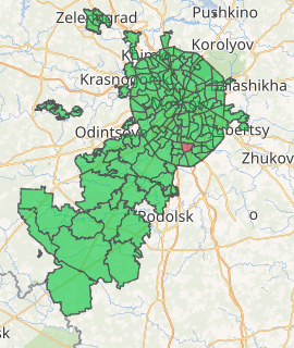
Location of Tsaritsyno District on the map of Moscow | |
| Coordinates: 55°36′57″N 37°40′16″E | |
| Country | Russia |
| Federal subject | Moscow |
| Population | |
| • Estimate (2018)[1] | 128,963 |
| Time zone | UTC+3 (MSK |
| OKTMO ID | 45923000 |
| Website | http://tsaricino.mos.ru/ |
In 1960, Lenino was incorporated into the Proletarsky District of Moscow and, in 1968, to Krasnogvardeysky District.
| Central Administrative Okrug |  | |
|---|---|---|
| Northern Administrative Okrug | ||
| North-Eastern Administrative Okrug | ||
| Eastern Administrative Okrug | ||
| South-Eastern Administrative Okrug | ||
| Southern Administrative Okrug | ||
| South-Western Administrative Okrug | ||
| Western Administrative Okrug | ||
| North-Western Administrative Okrug | ||
| Zelenogradsky Administrative Okrug | ||
| Novomoskovsky Administrative Okrug |
| |
| Troitsky Administrative Okrug |
| |
| Wikimedia Commons has media related to Tsaritsyno. |
| Wikimedia Commons has media related to Arshinovskiy park. |
- "26. Численность постоянного населения Российской Федерации по муниципальным образованиям на 1 января 2018 года". Federal State Statistics Service. Retrieved 23 January 2019.
- "Об исчислении времени". Официальный интернет-портал правовой информации (in Russian). 3 June 2011. Retrieved 19 January 2019.
This article is issued from Wikipedia. The text is licensed under Creative Commons - Attribution - Sharealike. Additional terms may apply for the media files.