The Little Rock
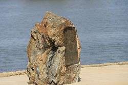
The "Little Rock" is the eponym of Little Rock, Arkansas. It is a now-reduced stone outcrop, projecting into the Arkansas River from its south bank, in the city's waterfront area, adjacent to the Junction Bridge, whose foundations include a portion of the rock. A portion of the rock outcrop has had a bronze plaque mounted on it. The rock, originally estimated to rise about 18 feet (5.5 m) above the river, was first identified as a significant river landmark in 1722 by French explorer Jean-Baptiste Bénard de la Harpe. In 1818 the rock was used as a survey marker, and formed the starting point for land surveys in the region south of the river.[2]
The "Little Rock" | |
 | |
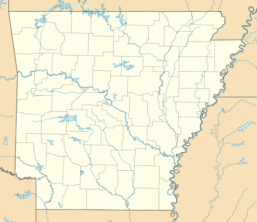  | |
| Location | On S bank of the Arkansas River at foot of Rock St., Little Rock, Arkansas |
|---|---|
| Coordinates | 34°44′57.3″N 92°15′59.9″W |
| Area | less than one acre |
| Built | 1722 |
| NRHP reference No. | 70000124[1] |
| Added to NRHP | October 6, 1970 |
The Little Rock was listed on the National Register of Historic Places in 1970.[1]
References
- "National Register Information System". National Register of Historic Places. National Park Service. July 9, 2010.
- "NRHP nomination for The Little Rock" (PDF). Arkansas Preservation. Retrieved 2015-12-16.
| Topics | |
|---|---|
| Lists by state |
|
| Lists by insular areas | |
| Lists by associated state | |
| Other areas | |
| Related | |
| |
This article is issued from Wikipedia. The text is licensed under Creative Commons - Attribution - Sharealike. Additional terms may apply for the media files.