Tepecik, Aydın
Tepecik is a town in the central district of Aydın Province, Turkey.
Tepecik | |
|---|---|
Town | |
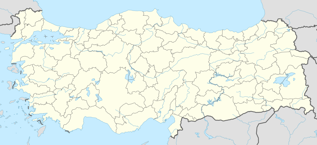 Tepecik Location in Turkey | |
| Coordinates: 37°49′N 27°53′E | |
| Country | |
| Province | Aydın Province |
| District | Aydın central district |
| Elevation | 40 m (130 ft) |
| Population (2012) | |
| • Total | 3,714 |
| Time zone | UTC+2 (EET) |
| • Summer (DST) | UTC+3 (EEST) |
| Postal code | 09120 |
| Area code(s) | 466 |
| Licence plate | 09 |
Geography
Tepecik is to the south east of Aydın city center. At 37°49′N 27°53′E Tepecik is almost merged to Aydın. The population of the town was 3764[1] as of 2012.
History
The area around the town was inhabited during the ancient ages and was known for stone pits of Tralles (modern Aydın) . During the 16th and 17th centuries, the plains of Tepecik (known as Turnalı plain ) attracked nomadic Turkmens as grazing area. They began settling in the present settlement in 1811. In 1830, the settlement was briefly controlled by Atçalı Kel Mehmet who revolted against the Ottoman authority. During Turkish War of Independence between 1919 and 1922 the settlement was under Greek rule. After the war, according to population exchange agreement, Greek population was replaced by Turks from Greece, Albania and Republic of Macedonia .In 1994 the settlement was declared a seat of township.[2]
Economy
The most important revenue of the town was used to be brick kilns of the town. Although the quantity of bricks has considerably reduced in recent years, now decorative bricks are being produced. Agriculture and cattle breeding are other economic sectors. There is also a small airport (used mainly by Aydın residents) around Tepecik.
References
- "Turkstat". Turkish Statistical Institute. Archived from the original on 2015-01-23. Retrieved 23 January 2015.
- Mayor's page (in Turkish) Archived 2012-02-21 at the Wayback Machine