Telowie, South Australia
Telowie is a locality in the Australian state of South Australia located about 213 kilometres (132 mi) north of the state capital of Adelaide and about 28 kilometres (17 mi) south-west of the municipal seat of Melrose.[1]
| Telowie South Australia | |||||||||||||||
|---|---|---|---|---|---|---|---|---|---|---|---|---|---|---|---|
 Telowie | |||||||||||||||
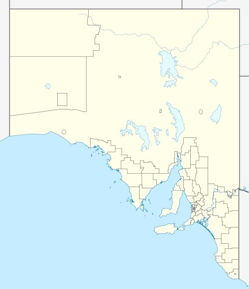
| Coordinates | 33°03′23″S 138°04′01″E[1] | ||||||||||||||
| Population | 95 (2016 census)[2] | ||||||||||||||
| Established | 13 March 1997[3] | ||||||||||||||
| Postcode(s) | 5540[4] | ||||||||||||||
| Time zone | ACST (UTC+9:30) | ||||||||||||||
| • Summer (DST) | ACST (UTC+10:30) | ||||||||||||||
| Location | |||||||||||||||
| LGA(s) | District Council of Mount Remarkable[1] | ||||||||||||||
| Region | Yorke and Mid North[1] | ||||||||||||||
| County | Frome[1] | ||||||||||||||
| State electorate(s) | Stuart[5] | ||||||||||||||
| Federal Division(s) | Grey[6] | ||||||||||||||
| |||||||||||||||
| |||||||||||||||
| Footnotes | Adjoining localities[1] | ||||||||||||||
It spans Telowie Gorge and Telowie Gorge Conservation Park.
The 2016 Australian census which was conducted in August 2016 reports that Telowie had a population of 95 people.[2]
Telowie is located within the federal division of Grey, the state electoral district of Stuart and the local government area of the District Council of Mount Remarkable.[6][5][1]
References
- "Search results for 'Telowie, LOCB' with the following datasets being selected - 'Suburbs and Localities', 'Counties', 'Local Government Areas', 'SA Government Regions' and 'Gazetteer'". Location SA Map Viewer. Government of South Australia. Retrieved 1 May 2018.
- Australian Bureau of Statistics (27 June 2017). "Telowie". 2016 Census QuickStats. Retrieved 1 May 2018.

- "GEOGRAPHICAL NAMES ACT 1991 Notice to Assign Names and Boundaries to Places" (PDF). The South Australian Government Gazette. South Australian Government. 13 March 1997. p. 1177. Retrieved 1 February 2018.
- "Postcode for Telowie, South Australia". Postcodes Australia. Retrieved 1 May 2018.
- "Electoral district of Stuart". Electoral Commission SA. Retrieved 12 February 2018.
- "Federal electoral division of Grey" (PDF). Australian Electoral Commission. Retrieved 12 February 2018.
- "Monthly climate statistics: Summary statistics Georgetown (nearest station)". Commonwealth of Australia , Bureau of Meteorology. Retrieved 1 May 2018.
This article is issued from Wikipedia. The text is licensed under Creative Commons - Attribution - Sharealike. Additional terms may apply for the media files.