Stonehaugh
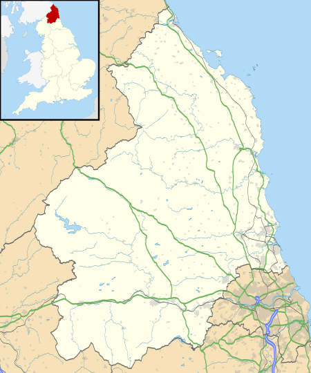
Stonehaugh is a small settlement in Northumberland about 5 miles (8 km) west of Wark on Tyne and 4 Roman miles (6 km) north of Hadrian's Wall. It was purpose-built for housing forestry workers in the 1950s. Mechanisation has reduced the necessity for such concentrated manpower, so the modern population is more diverse. It is located at the edge of the Wark Forest, and the National Cycle Route 68 (the Pennine Cycleway) passes through it. It has a spectacular scenic views and a local artist's totem poles grace the local picnic area.
Governance
Stonehaugh is in the parliamentary constituency of Hexham, Guy Opperman of the Conservative Party is the Member of Parliament.
Prior to Brexit, for the European Parliament its residents voted to elect MEP's for the North East England constituency.
For Local Government purposes it belongs to Northumberland County Council a unitary authority.
Stonehaugh has its own parish council; Wark Parish Council.[1][2]