Sokołowa Wola
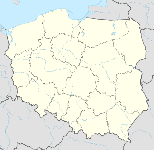
Sokołowa Wola [sɔkɔˈwɔva ˈvɔla] (Ukrainian: Соколова Воля, Sokolova Volia) is a former village in the administrative district of Gmina Czarna, within Bieszczady County, Subcarpathian Voivodeship, in south-eastern Poland, close to the border with Ukraine. It lies approximately 6 kilometres (4 mi) north-west of Czarna, 10 km (6 mi) south of Ustrzyki Dolne, and 88 km (55 mi) south-east of the regional capital Rzeszów.[1]
Sokołowa Wola | |
|---|---|
Village | |
 Sokołowa Wola | |
| Coordinates: 49°20′54″N 22°36′32″E | |
| Country | |
| Voivodeship | Subcarpathian |
| County | Bieszczady |
| Gmina | Czarna |
| Population | 0 |
References
| Seat | ||
|---|---|---|
| Other villages | ||
This article is issued from Wikipedia. The text is licensed under Creative Commons - Attribution - Sharealike. Additional terms may apply for the media files.