Simulbari Tea Garden
Simulbari Tea Garden is a village in the Kurseong CD block in the Kurseong subdivision of the Darjeeling district in the state of West Bengal, India.
Simulbari Tea Garden | |
|---|---|
Village | |
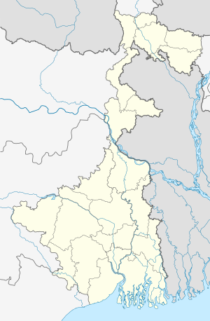 Simulbari Tea Garden Location in West Bengal, India  Simulbari Tea Garden Simulbari Tea Garden (India) | |
| Coordinates: 26.796478°N 88.308452°E | |
| Country | |
| State | West Bengal |
| District | Darjeeling |
| Population (2011) | |
| • Total | 4,160 |
| Time zone | UTC+5:30 (IST) |
| Lok Sabha constituency | Darjeeling |
| Vidhan Sabha constituency | Kurseong |
| Website | darjeeling |
Geography
 |
| Places and tea estates in the north-eastern portion of Darjeeling Sadar subdivision (including Rangli Rangliot CD block) and Kurseong subdivision in Darjeeling district CT: census town, R: rural/ urban centre, N: neighbourhood, H: hill centre, NP: national park/ wildlife sanctuary, TE: tea estate, TA: tourist attraction Abbreviations used in names – TG for Tea Garden (town/village), TE for Tea Estate Owing to space constraints in the small map, the actual locations in a larger map may vary slightly |
Location
Simulbari Tea Garden is located at 26.796478°N 88.308452°E.
Area overview
The map alongside shows the eastern portion of the Darjeeling Himalayan hill region and a small portion of the terai region in its eastern and southern fringes, all of it in the Darjeeling district. In the Darjeeling Sadar subdivision 61.00% of the total population lives in the rural areas and 39.00% of the population lives in the urban areas. In the Kurseong subdivision 58.41% of the total population lives in the rural areas and 41.59% lives in the urban areas.[1][2] There are 78 tea gardens/ estates (the figure varies slightly according to different sources), in the district, producing and largely exporting Darjeeling tea. It engages a large proportion of the population directly/ indirectly.[3]Some tea gardens were identified in the 2011 census as census towns or villages. [4]Such places are marked in the map as CT (census town) or R (rural/ urban centre). Specific tea estate pages are marked TE.
Note: The map alongside presents some of the notable locations in the subdivision. All places marked in the map are linked in the larger full screen map.
Demographics
According to the 2011 Census of India, Simulbari Tea Garden had a total population of 4,160 of which 2,079 (50%) were males and 2,081 (50%) were females. There were 499 persons in the age range of 0 to 6 years. The total number of literate people in Simulbari Tea Garden was 2,039 (49.01% of the population over 6 years).[5]
Economy
Simulbari Tea Garden, located in the terai region, was locked out in February 2019.[6]
References
- "Darjeeling". District Profile - General Information. District administration. Retrieved 21 March 2020.
- "District Statistical Handbook 2013 Darjeeling". Tables 2.2, 2.4b. Department of Planning and Statistics, Government of West Bengal. Retrieved 21 March 2020.
- "Darjeeling Tea". District administration. Retrieved 21 March 2020.
- "2011 Census – Primary Census Abstract Data Tables". West Bengal – District-wise. Registrar General and Census Commissioner, India. Retrieved 21 March 2020.
- "2011 Census – Primary Census Abstract Data Tables". West Bengal – District-wise. Registrar General and Census Commissioner, India. Retrieved 20 March 2020.
- "Siliguri Tea Garden Lockout Leaves 1200 Jobless". Newsmen, 25 February 2019. Retrieved 10 March 2020.
External links
