Sierra de Javalambre
Sierra de Javalambre (Aragonese: Sierra de Chabalambre)[1] is a 29 km (18 mi) long mountain range in the Gúdar-Javalambre comarca of Aragon and the Rincón de Ademuz and Serrans comarcas of the Valencian Community, Spain.
| Sierra de Javalambre | |
|---|---|
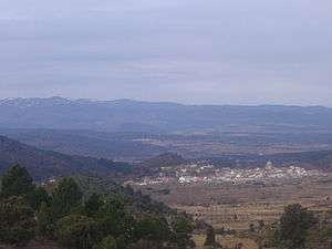 Sierra de Javalambre rising above Pina | |
| Highest point | |
| Elevation | 2,020 m (6,630 ft) |
| Listing | Mountains of Aragon, List of mountains in the Valencian Community |
| Coordinates | 40°5′49.7″N 1°1′29″W |
| Geography | |
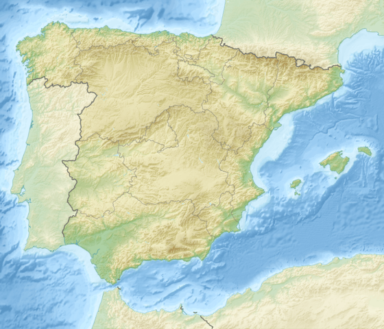 Sierra de Javalambre Spain | |
| Location | Gúdar-Javalambre, Aragon Rincón de Ademuz and Serrans, Valencian Community |
| Parent range | Iberian System, Eastern zone |
| Geology | |
| Mountain type | Karstic (Jurassic) |
| Climbing | |
| Easiest route | From the towns of La Puebla de Valverde, Ademuz or Riodeva |
Highway N-234 winds its way between Sierra de Javalambre and Serra d'Espadà reaching the coast at Sagunto and the Autopista AP-7.
Location
This mountain range is located at the eastern end of the Iberian System and the Sierra del Toro its ESE prolongation. Its highest point is Javalambre (2,020 m).
Its summits are usually covered in snow in the winter and the 1,839 m high Cerro Calderón or Alto de las Barracas is the highest peak of the Land of Valencia. Aramón Javalambre is a small ski resort in the range with 12.2 km of ski trails.[2]
See also
- List of mountains in Aragon
- Mountains of the Valencian Community
References
- Ignacio de Asso, Historia de la Economía Política de Aragón, 1798
- Aramón Javalambre
External links

- enciclopedia.cat - Javalambre
- Sierra de Javalambre
- Infoaventura
- Todonieve
- Camarena de la Sierra