Shirase Glacier
Shirase Glacier (Japanese: 白瀬氷河; Shirase Hyōga) is a large glacier entering Havsbotn, the bay that forms the head of Lutzow-Holm Bay in Antarctica. The area occupied by this feature was first mapped as a bay and named Instefjorden (the innermost fjord) by the Lars Christensen Expedition (LCE) of 1936–37. Surveys by Japanese Antarctic Research Expedition (JARE) of 1957–62, revealed the large glacier in this position which they named after Lt. Nobu Shirase, leader of the Japanese Antarctic Expedition of 1911–12.[1]
| Shirase Glacier | |
|---|---|
.svg.png) Location of Queen Maud Land in Antarctica | |
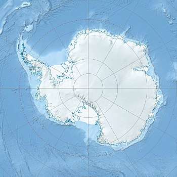 Location of Shirase Glacier in Antarctica | |
| Location | Queen Maud Land |
| Coordinates | 70°55′S 38°45′E |
| Thickness | unknown |
| Terminus | Lützow-Holm Bay |
| Status | unknown |
The Instekleppane Hills are a group of low rock hills that protrude above the ice slopes at the east side of Shirase Glacier, just south of the southeastern extremity of Lützow-Holm Bay in Antarctica. The hills were mapped by Norwegian cartographers from air photos taken by LCE personnel and named "instekleppane" ("the innermost lumps") after their appearance.[2] Azarashi Rock, named by JARE and meaning "seal rock," is located approximately 1 mile (1.6 km) north.[3]
References
- "Shirase Glacier". Geographic Names Information System. United States Geological Survey. Retrieved 2019-04-24.
- "Instekleppane Hills". Geographic Names Information System. United States Geological Survey. Retrieved 2019-04-24.
- "Azarashi Rock". Geographic Names Information System. United States Geological Survey. Retrieved 2019-04-24.
![]()