Shelby, Indiana
Shelby is an unincorporated community and census-designated place in Cedar Creek Township, Lake County, Indiana. Shelby had a population of 539 at the 2010 census.[3]
Shelby, Indiana | |
|---|---|
 Looking north into Shelby from the State Road 55 bridge across the Kankakee River, March 2007 | |
 Location in Lake County, Indiana | |
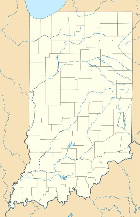 Shelby Location in Lake County, Indiana  Shelby Shelby (the United States) | |
| Coordinates: 41°11′43″N 87°20′52″W | |
| Country | United States |
| State | Indiana |
| County | Lake |
| Township | Cedar Creek |
| Area | |
| • Total | 1.29 sq mi (3.33 km2) |
| • Land | 1.29 sq mi (3.33 km2) |
| • Water | 0.0 sq mi (0.0 km2) |
| Elevation | 640 ft (200 m) |
| Population (2010) | |
| • Total | 539 |
| • Density | 419/sq mi (161.7/km2) |
| ZIP code | 46377 |
| FIPS code | 18-69246[2] |
| GNIS feature ID | 443344 |
History
Shelby was laid out and platted in 1886 by William R. Shelby, when the railroad was extended to that point.[4]
Economy
Whiteco Industries, an Indiana business which, with its affiliates, is engaged in advertising (particularly billboard advertising) in Indiana, and in ownership of hotels, grew along with Dean White from a small advertising business in Shelby.[5] The successor to the Shelby location of Whiteco's business (in this location making graphics for commercial vehicles), Modagraphics, closed its doors, however, in 1993, as a result of a consolidation within its new parent company from Illinois.[5]
Schools
Students from Shelby attend schools operated by the Tri-Creek School Corporation in Lowell, Indiana.The school that was there was changed into a park.
The movie Now and Then is set in Shelby, Indiana, but the Shelby of the movie is fictional. The movie is actually based on the town of Winchester, Indiana.
Geography
Shelby is located in southern Lake County at 41°11′43″N 87°20′52″W. It lies in the southeast corner of Cedar Creek Township, bordered to the south by the Kankakee River, which forms the Newton County line. Directly across the river is the unincorporated community of Thayer. Shelby is 9 miles (14 km) southeast of Lowell, 6 miles (10 km) east of Schneider and 10 miles (16 km) west of DeMotte.
Indiana State Road 55 crosses the Kankakee River at Shelby, making one of the few Kanakee River crossings from Lake County. Shelby, along other small Kankakee River communities, has historically had to contend with periodic flooding from the Kankakee River.[5]
According to the U.S. Census Bureau, the Shelby CDP has an area of 1.3 square miles (3.3 km2), all of it recorded as land.[6]
Notable residents
- Jigger Sirois, IndyCar driver[8]
References
- "US Board on Geographic Names". United States Geological Survey. 2007-10-25. Retrieved 2008-01-31.
- "U.S. Census website". United States Census Bureau. Retrieved 2008-01-31.
- "Profile of General Population and Housing Characteristics: 2010 Census Summary File 1 (DP-1), Shelby CDP, Indiana". American FactFinder. U.S. Census Bureau. Retrieved January 22, 2020.
- Howat, William Frederick (1915). A Standard History of Lake County, Indiana, and the Calumet Region, Volume 1. Lewis Publishing Company. p. 141.
- White sad at closing of Shelby plant where success story / nwi.com
- "U.S. Gazetteer Files: 2019: Places: Indiana". U.S. Census Bureau Geography Division. Retrieved January 22, 2020.
- "Census of Population and Housing". Census.gov. Retrieved June 4, 2016.
- Berggoetz, Barb. "Lifetime of stuttering spurs former race car driver Leon Sirois to help youth". Indianapolis Star. Retrieved December 27, 2013.
Municipalities and communities of Lake County, Indiana, United States | ||
|---|---|---|
| Cities | Map of Indiana highlighting Lake County | |
| Towns | ||
| Townships | ||
| CDPs | ||
| Other unincorporated communities | ||
| Ghost town | ||
| Footnotes | ‡This populated place also has portions in an adjacent county or counties. | |