Saviers Peak
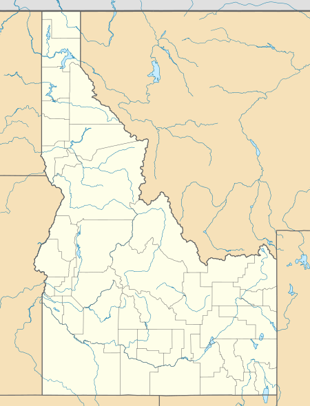
Saviers Peak, at 10,441 feet (3,182 m) above sea level is the highest peak in the Smoky Mountains of Idaho. Located in Blaine County, Saviers Peak is about 0.5 miles (800 m) north of the Camas County border. The peak is also located in Sawtooth National Recreation Area south of Galena Summit. It is about 0.6 mi (0.97 km) northeast of Camas County Highpoint and 0.6 mi (0.97 km) southeast of Bromaghin Peak.
| Saviers Peak | |
|---|---|
 Saviers Peak | |
| Highest point | |
| Elevation | 10,441 ft (3,182 m) [1] |
| Prominence | 1,761 ft (537 m) [1] |
| Coordinates | 43°49′19″N 114°42′47″W |
| Geography | |
| Location | Blaine County, Idaho, U.S. |
| Parent range | Smoky Mountains |
| Topo map | USGS Galena |
No trails lead near Saviers Peak, and it is most easily accessed from the north at the Titus Lake trailhead along Idaho State Highway 75.[2]
References
- "Bromaghin Peak South, Idaho". Peakbagger.com. Retrieved January 17, 2012.
- Sawtooth National Forest (Map) (2012 ed.). 1:126,720. Sawtooth National Forest, U.S. Forest Service.
External links
This article is issued from Wikipedia. The text is licensed under Creative Commons - Attribution - Sharealike. Additional terms may apply for the media files.