Sand Hill (Noble County, Indiana)
Sand Hill (1070+ feet or 326+ m) is the second highest named summit in the U.S. state of Indiana. It is located in northeastern Wayne Township in Noble County, approximately two and a half miles southeast of the town of South Milford. A burial ground known as Weston Chapel Cemetery is on the southeastern face of the hill.
| Sand Hill | |
|---|---|
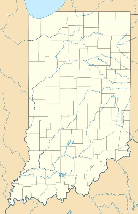 Sand Hill Location in Indiana | |
| Highest point | |
| Elevation | 1070+ ft (326+ m) [1] |
| Coordinates | 41°30′51″N 85°13′30″W [2] |
| Geography | |
| Location | Noble County, Indiana, United States |
| Topo map | USGS Stroh |
The highest summit in Indiana is Hoosier Hill in Wayne County (1,257 feet or 383 metres)[3]
Notes
- "Sand Hill, Indiana". Peakbagger.com. Retrieved 2014-03-15.
- "Sand Hill". Geographic Names Information System. United States Geological Survey. Retrieved 2014-03-15.
- Slayden, Greg. "Indiana County High Points". Peakbagger.com. Retrieved 22 May 2011.
This article is issued from Wikipedia. The text is licensed under Creative Commons - Attribution - Sharealike. Additional terms may apply for the media files.