Salisbury Historic District
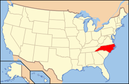
Salisbury Historic District is a national historic district located at Salisbury, Rowan County, North Carolina. The district encompasses 348 contributing buildings and 1 contributing site in the central business district and surrounding residential sections of Salisbury. It includes notable examples of Late Victorian, Colonial Revival, and Bungalow / American Craftsman style architecture. Located in the district are the separately listed Maxwell Chambers House, McNeely-Strachan House, Archibald Henderson Law Office, and the former Rowan County Courthouse. Other notable buildings include the tower of the former First Presbyterian Church (1891-1893), Rowan County Courthouse (1914), Conrad Brem House, Kluttz's Drug Store (c. 1859), Bell Building (c. 1900), Washington Building (c. 1900), Grubb-Wallace Building, Hedrick Block, Empire Hotel, St. Luke's Episcopal Church (1827-1828), Soldiers Memorial A.M.E. Zion Church (1910-1913), U.S. Post Office and Courthouse (1909), City Hall (1926), Salisbury Fire House and City Building (1897).[2][3][4][5]
Salisbury Historic District | |
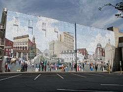 Mural, Salisbury Historic District, September 2012 | |
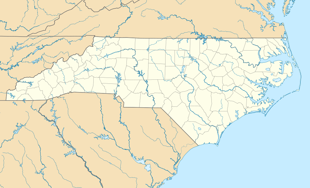  | |
| Location | Roughly bounded by Jackson, Innes, Caldwell, Marsh, Church, E. Bank, Lee, and Liberty Sts.; also 117 S. Lee St.; also roughly bounded by Ellis St., Monroe St., Church St., Bank St., S. Main St., and McCubbins St.; also portions of E. Council, E. Innes, Lee, and E. Liberty Sts. between Main and Depot Sts., Salisbury, North Carolina |
|---|---|
| Coordinates | 35°40′04″N 80°28′10″W |
| Area | 140.5 acres (56.9 ha) |
| Built | 1770 |
| Architectural style | Late Victorian, Colonial Revival, Bungalow/craftsman, Foursquare, Early Commercial |
| NRHP reference No. | 75001289, 88000141 (Boundary Increase), 89000760 (Boundary Increase), 00000826 (Boundary Increase)[1] |
| Added to NRHP | November 12, 1975, January 6, 1988 (Boundary Increase), July 6, 1989 (Boundary Increase), July 20, 2000 (Boundary Increase) |
It was listed on the National Register of Historic Places in 1975, with boundary increases in 1988, 1989, and 2000.[1]
References
- "National Register Information System". National Register of Historic Places. National Park Service. July 9, 2010.
- Robert Topkins and Mary Alice Hinson (October 1975). "Salisbury Historic District" (pdf). National Register of Historic Places - Nomination and Inventory. North Carolina State Historic Preservation Office. Retrieved 2015-02-01.
- unknown (n.d.). "Salisbury Historic District (Boundary Increase 1)" (pdf). National Register of Historic Places - Nomination and Inventory. North Carolina State Historic Preservation Office. Retrieved 2015-02-01.
- Ray Manieri and M. Ruth Little (February 1985, April 1989). "Salisbury Historic District (Boundary Increase 2 & 3)" (pdf). National Register of Historic Places - Nomination and Inventory. North Carolina State Historic Preservation Office. Retrieved 2015-02-01. Check date values in:
|date=(help) - Laura A. W. Phillips and Langdon E. Oppermann (June 1999). "Salisbury Historic District Boundary Amendment and Additional Documentation" (pdf). National Register of Historic Places - Nomination and Inventory. North Carolina State Historic Preservation Office. Retrieved 2015-02-01.
External links
![]()
- Historic American Buildings Survey (HABS) No. NC-218, "First Presbyterian Church, West Innis & Jackson Streets, Salisbury, Rowan County, NC", 29 measured drawings