Saint-Pierre-de-Trivisy
Saint-Pierre-de-Trivisy is a commune in the Tarn department in southern France.
Saint-Pierre-de-Trivisy | |
|---|---|
.svg.png) Coat of arms | |
Location of Saint-Pierre-de-Trivisy 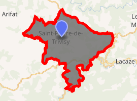
| |
 Saint-Pierre-de-Trivisy 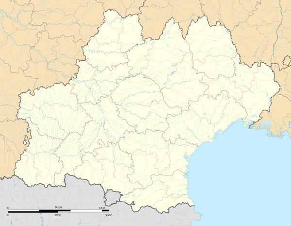 Saint-Pierre-de-Trivisy | |
| Coordinates: 43°45′43″N 2°26′08″E | |
| Country | France |
| Region | Occitanie |
| Department | Tarn |
| Arrondissement | Castres |
| Canton | Les Hautes Terres d'Oc |
| Intercommunality | Val et Plateau Mont-de-Lacaune |
| Government | |
| • Mayor (2008–2014) | Nelly Barthès |
| Area 1 | 36.09 km2 (13.93 sq mi) |
| Population (2017-01-01)[1] | 621 |
| • Density | 17/km2 (45/sq mi) |
| Time zone | UTC+01:00 (CET) |
| • Summer (DST) | UTC+02:00 (CEST) |
| INSEE/Postal code | 81267 /81330 |
| Elevation | 373–769 m (1,224–2,523 ft) (avg. 618 m or 2,028 ft) |
| 1 French Land Register data, which excludes lakes, ponds, glaciers > 1 km2 (0.386 sq mi or 247 acres) and river estuaries. | |
Geography
The river Gijou forms most of the commune's south-eastern border.
See also
References
- "Populations légales 2017". INSEE. Retrieved 6 January 2020.
| Wikimedia Commons has media related to Saint-Pierre-de-Trivisy. |
| Authority control |
|
|---|
This article is issued from Wikipedia. The text is licensed under Creative Commons - Attribution - Sharealike. Additional terms may apply for the media files.