Saint-Lary-Soulan
Saint-Lary-Soulan (Gascon: Sent Lari e Sola) is a commune in the Hautes-Pyrénées department in south-western France.
Saint-Lary-Soulan | |
|---|---|
 The village of Saint-Lary-Soulan in the Aure valley. | |
.svg.png) Coat of arms | |
Location of Saint-Lary-Soulan 
| |
 Saint-Lary-Soulan 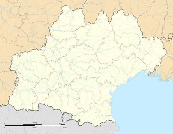 Saint-Lary-Soulan | |
| Coordinates: 42°49′N 0°19′E | |
| Country | France |
| Region | Occitanie |
| Department | Hautes-Pyrénées |
| Arrondissement | Bagnères-de-Bigorre |
| Canton | Neste, Aure et Louron |
| Area 1 | 90.97 km2 (35.12 sq mi) |
| Population (2017-01-01)[1] | 835 |
| • Density | 9.2/km2 (24/sq mi) |
| Time zone | UTC+01:00 (CET) |
| • Summer (DST) | UTC+02:00 (CEST) |
| INSEE/Postal code | 65388 /65170 |
| Elevation | 791–3,087 m (2,595–10,128 ft) |
| 1 French Land Register data, which excludes lakes, ponds, glaciers > 1 km2 (0.386 sq mi or 247 acres) and river estuaries. | |
Geography
Saint-Lary is located in Hautes-Pyrénées 80 km south of the département's capital Tarbes, next to the Le Néouvielle Nature Reserve and the Pyrenees National Park and is a 20-minute drive to Spain.
Sports
Skiing
Saint-Lary-Soulan is one of the largest ski resorts in the French Pyrenees with over 100 km of downhill slopes. There are 53 pistes spread over three linked, and yet distinct sectors. Saint Lary 1700 is known as the Pla d'Adet sector and provides family skiing including snow kindergarten, toboggan run and a 'Kidpark', a snowpark aimed at young skiers aged between 6 and 12 years. Saint Lary 1900 is known as the Espiaube sector and is frequented by more experienced skiers. The showpiece ski run is the Mirabelle which descends 700 metres over its 3.6 km (2.2 mi) length. Saint Lary 2400 has a snowpark which doubles as a skate park in the summer, mogul and slalom stadiums and also provides access to Lake Oule for snow-shoeing.
Hiking
Saint-Lary-Soulan is also a popular base camp for walkers. The coast to coast GR10 footpath passes through Saint-Lary itself and both the Pyrenees National Park and The Néouvielle Nature Reserve are close by.
Cycling
The Tour de France frequently runs through Saint-Lary-Soulan, most recently in 2005 and is close to a number of mountain climbs used on the tour including the Pla d'Adet, Col d'Aspin, Col de Peyresourde and Col du Tourmalet. Stage 17 of the 2014 Tour de France finishes on the Pla d'Adet, above the commune. Stage 17 of the 2018 Tour de France will finish here on the Col du Portet.
External links
- Official Saint Lary Website
- Pyrenees Travel information guide
- Official Tour de France Website
- George Hincapie Performance Village
| Wikimedia Commons has media related to Saint-Lary-Soulan. |
| Authority control |
|---|