Saint-Léger, Charente
Saint-Léger is a former commune in the Charente department in southwestern France. On 1 January 2019, it was merged into the commune Coteaux du Blanzacais.[2]
Saint-Léger | |
|---|---|
Part of Coteaux du Blanzacais | |
 Town hall | |
Location of Saint-Léger 
| |
 Saint-Léger 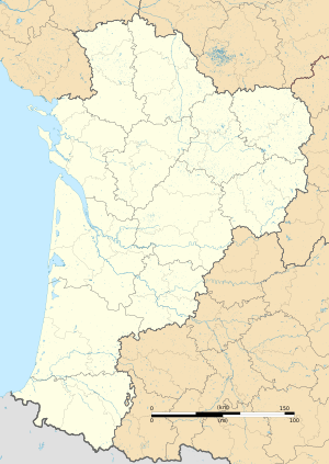 Saint-Léger | |
| Coordinates: 45°27′39″N 0°02′45″E | |
| Country | France |
| Region | Nouvelle-Aquitaine |
| Department | Charente |
| Arrondissement | Cognac |
| Canton | Charente-Sud |
| Commune | Coteaux du Blanzacais |
| Area 1 | 4.21 km2 (1.63 sq mi) |
| Population (2017)[1] | 126 |
| • Density | 30/km2 (78/sq mi) |
| Time zone | UTC+01:00 (CET) |
| • Summer (DST) | UTC+02:00 (CEST) |
| Postal code | 16250 |
| Elevation | 76–179 m (249–587 ft) (avg. 100 m or 330 ft) |
| 1 French Land Register data, which excludes lakes, ponds, glaciers > 1 km2 (0.386 sq mi or 247 acres) and river estuaries. | |
Population
| Year | Pop. | ±% |
|---|---|---|
| 1793 | 186 | — |
| 1800 | 171 | −8.1% |
| 1806 | 156 | −8.8% |
| 1821 | 186 | +19.2% |
| 1831 | 215 | +15.6% |
| 1841 | 203 | −5.6% |
| 1846 | 210 | +3.4% |
| 1851 | 200 | −4.8% |
| 1856 | 204 | +2.0% |
| 1861 | 200 | −2.0% |
| 1866 | 189 | −5.5% |
| 1872 | 192 | +1.6% |
| 1876 | 185 | −3.6% |
| 1881 | 194 | +4.9% |
| 1886 | 187 | −3.6% |
| 1891 | 183 | −2.1% |
| 1896 | 177 | −3.3% |
| 1901 | 183 | +3.4% |
| 1906 | 194 | +6.0% |
| 1911 | 191 | −1.5% |
| 1921 | 153 | −19.9% |
| 1926 | 165 | +7.8% |
| 1931 | 174 | +5.5% |
| 1936 | 156 | −10.3% |
| 1946 | 146 | −6.4% |
| 1954 | 134 | −8.2% |
| 1962 | 145 | +8.2% |
| 1968 | 140 | −3.4% |
| 1975 | 176 | +25.7% |
| 1982 | 181 | +2.8% |
| 1990 | 140 | −22.7% |
| 1999 | 136 | −2.9% |
| 2008 | 122 | −10.3% |
See also
References
- Téléchargement du fichier d'ensemble des populations légales en 2017, INSEE
- Arrêté préfectoral 28 September 2018, p. 7 (in French)
| Wikimedia Commons has media related to Saint-Léger (Charente). |
| Authority control |
|
|---|
This article is issued from Wikipedia. The text is licensed under Creative Commons - Attribution - Sharealike. Additional terms may apply for the media files.