Saint-Germain-lès-Arpajon
Saint-Germain-lès-Arpajon is a commune in the Essonne department. It is a suburb of Paris located 30 km (19 mi) south of Paris via the N20, and 20 km (12 mi) north of Étampes.
Saint-Germain-lès-Arpajon | |
|---|---|
 The town hall and church in Saint-Germain-lès-Arpajon | |
.svg.png) Coat of arms | |
Location of Saint-Germain-lès-Arpajon 
| |
 Saint-Germain-lès-Arpajon 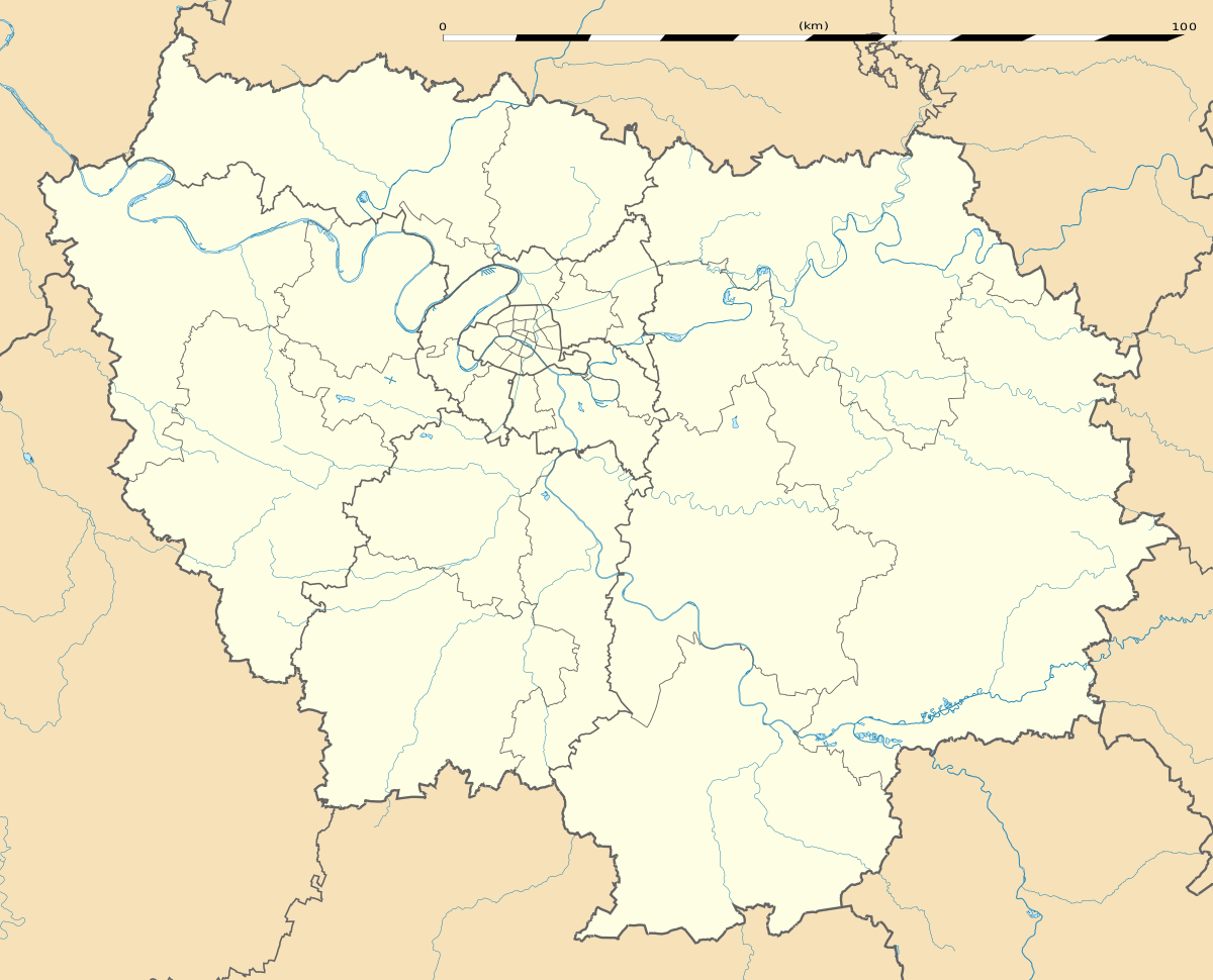 Saint-Germain-lès-Arpajon | |
| Coordinates: 48°35′41″N 2°15′21″E | |
| Country | France |
| Region | Île-de-France |
| Department | Essonne |
| Arrondissement | Palaiseau |
| Canton | Arpajon |
| Intercommunality | CA Cœur d'Essonne |
| Government | |
| • Mayor (2008–2014) | Monique Goguelat |
| Area 1 | 6.31 km2 (2.44 sq mi) |
| Population (2017-01-01)[1] | 10,707 |
| • Density | 1,700/km2 (4,400/sq mi) |
| Time zone | UTC+01:00 (CET) |
| • Summer (DST) | UTC+02:00 (CEST) |
| INSEE/Postal code | 91552 /91180 |
| Elevation | 42–101 m (138–331 ft) (avg. 82 m or 269 ft) |
| 1 French Land Register data, which excludes lakes, ponds, glaciers > 1 km2 (0.386 sq mi or 247 acres) and river estuaries. | |
Its inhabitants are called Germinois.
History
- Corbinian founded a religious community in the 7th century
- Up into the 13th century, Saint-Germain was a dependence of the châtellenie of Montlhéry
- In the 16th century, Saint-Germain was an estate of the lords of Granville
- In the 18th century, it was an estate of the lords of Noailles
- In 1720, the commune takes its current name following the acquisition of the commune of Châtres by Louis de Severac, Marquis d' Arpajon-sur-Cère (father of Anne d'Arpajon, comtesse de Noailles). It was previously called Saint-Germain-lès-Châtres).
See also
References
- INSEE
- Mayors of Essonne Association (in French)
- "Populations légales 2017". INSEE. Retrieved 6 January 2020.
External links
| Wikimedia Commons has media related to Saint-Germain-lès-Arpajon. |
- Official website (in French)
- Mérimée database - Cultural heritage (in French)
- Land use (IAURIF) (in English)
| Authority control |
|
|---|
This article is issued from Wikipedia. The text is licensed under Creative Commons - Attribution - Sharealike. Additional terms may apply for the media files.