Saggart
Saggart (Irish: Teach Sagard) is a village in South Dublin, Ireland, south west of Dublin city. It lies between the N7 (Naas Road), Rathcoole, and Tallaght. It is one of the fastest growing settlements in Ireland, showing a population increase of 46.1% between 2011 and 2016.[2]
Saggart Teach Sagard | |
|---|---|
Village | |
 Saggart village | |
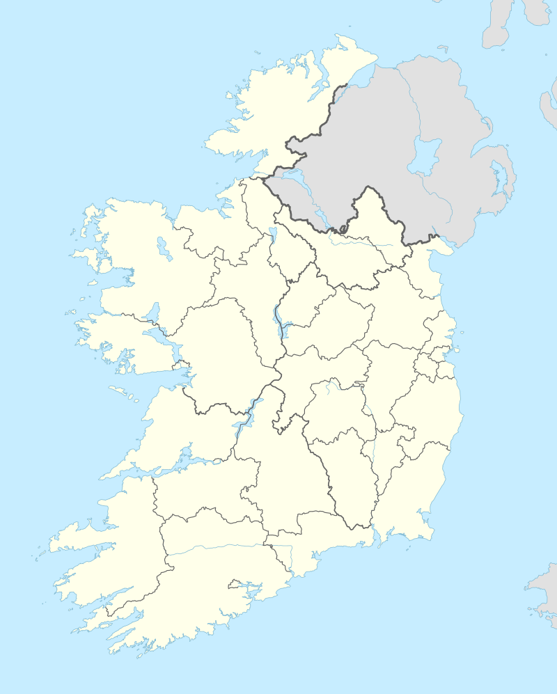 Saggart Location in Ireland | |
| Coordinates: 53.280°N 6.444°W | |
| Country | Ireland |
| Province | Leinster |
| County | County Dublin |
| Elevation | 125 m (410 ft) |
| Population (2016)[1] | |
| • Total | 3,133 |
| Irish Grid Reference | O034266 |

Name
A monk called Mosacra founded a settlement on the site of the village in the 7th century. The name Saggart derives from Teach Sacra which means 'house of Sacra' in Irish. For many years Saggart was known as Tassagard or Tassagart, and the latter name persists in Tassagart House, and in the names of some housing estates in the area.
History
A monastery existed just outside the village in the 7th century. The remains of this monastery are found on the grounds of an equestrian centre approximately 1.5 km from today's Saggart Village. After St Mosacra died, it became a nunnery with over 80 nuns living there until the Viking attacks of the 9th century.
By 1207, Saggart, or Tasagart, as it was then called by the Normans, had been made a prebend of the Cathedral of St. Patrick. In 1615, the church was reported as being in good repair but fifteen years later the church is stated to have fallen down, and the Protestant parishioners attended Rathcoole church. The current church was built in 1847.
From 1888–1932, the Dublin to Blessington tram service stopped at Saggart.
Historical artifacts
Some well-known objects of archaeological interest can be found in Saggart.
- A pair of megalithic standing stones in Boherboy, that are known locally as Adam and Eve.[3]
- The Raheen Standing Stone – a megalithic standing stone in a field on the Blessington Road, near Crooksling.[4]
- A 1939 excavation at Lugg uncovered the remains of what is thought to be a burial site that dates from the Bronze Age.[5]
There are four surviving pre-Norman monuments in the village:
- Two high crosses
- A cross-slab
- a cross-base
All of these monuments stand in the graveyard, sited across Garter Lane from the Roman Catholic Church. The graveyard predates the current church and is located on the site of previous church buildings, although believed to be the monastery of St Mosacra, the actual site is 1.5 km away. The first edition Ordnance Survey map from 1843 shows the graveyard to be oval in shape, with access provided by a lane leading directly from the village; prior to this, the area is recorded by mapmakers as the site of a ruined church. Within the graveyard, there is a noteworthy memorial to Dublin merchant Edward Byrne, who was a member of the Catholic Committee, which included Wolfe Tone, which petitioned King George II in 1793 on behalf of the Irish people.[5]
Nature
Saggart lies at the northern end of a mountain valley, the Slade of Saggart, with Brittas at the other side. The River Camac flows through this valley, passing around the village on the way to meet the River Liffey by Heuston Station. The great spotted woodpecker, Ireland's newest breeding bird, has been seen here.
Religion
The Roman Catholic parish boundaries include the areas of Rathcoole and Brittas and the parish works in conjunction with the neighbouring parish of St. Finian's, Newcastle.[6] Dedicated in 1849, the Roman Catholic Church is named after "The Nativity of the Blessed Virgin Mary". The current Parish Priest is Fr. John Gilligan.[7]
Amenities
Saggart is a heritage village. It is also home to the Citywest Hotel, which hosts many annual events including the Irish Masters, award ceremonies, and political ard fheiseanna. Citywest Business Campus is located just to the north of Saggart village and is home to many companies. The Citywest Shopping Centre, anchored by Dunnes Stores, is the only shopping centre in the area, and also has a pharmacy, two cafes and a range of other eating places. There is also a service / petrol stations, restaurants and a 4,000 seat convention centre at Citywest. The Citywest Business Campus also includes a Dublin City University facility. Jacob’s Bar was established as a public house in the village by members of the Jacob family in 1901.[8]
Transport
Luas
Saggart is one of two western terminuses for the Luas Red Line, the other being Tallaght. The line provides a direct link to Dublin city with a journey duration of 45 minutes.
Bus
Saggart is served by the Dublin Bus 69 service.
Sport
St. Marys is the local Gaelic Athletic Association club and was founded in 1906.
Coolmine Equestrian Centre was established here in 1989. The equestrian centre is home to the remains of the 7th-century monastery of St Mo Sacra. The centre and CEAD-Ireland host equestrian activities and competitions and CEAD-Fest during the summer months.
Politics
For elections to Dáil Éireann, Saggart is part of the Dublin Mid-West constituency. Saggart, along with Citywest, Rathcoole and Newcastle, is part of the Clondalkin Local Electoral District of South Dublin County Council.
References
- "Saggart Settlement Results". Central Statistics Office. 2011.
- "All Towns (Ireland): Counties & Towns - Population Statistics, Charts and Map". www.citypopulation.de. Retrieved 2018-07-09.
- Boherboy Megalithicireland.com
- Raheen Megalithicireland.com
- Saggart - History at SouthDublinHistory.ie
- stfiniansparishnewcastle Blogspot.com
- saggartparish Blogspot.com
- http://www.jacobsbar.ie/
External links
| Wikimedia Commons has media related to Saggart. |