Sándorfalva
Sándorfalva is a town in Csongrád County,[1] in the Southern Great Plain region of southern Hungary.
Sándorfalva | |
|---|---|
 Flag  Coat of arms | |
 Sándorfalva | |
| Coordinates: 46.36836°N 20.11438°E | |
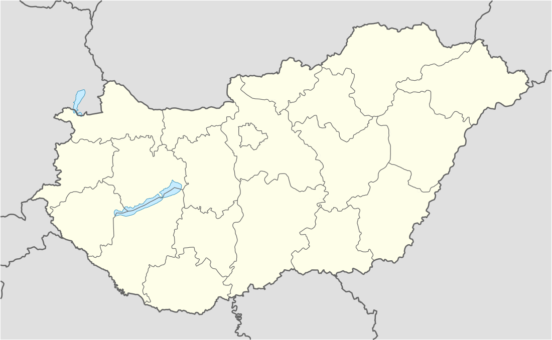
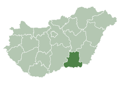
| Country | |
| County | Csongrád |
| District | Szeged |
| Area | |
| • Total | 55.77 km2 (21.53 sq mi) |
| Population (2013) | |
| • Total | 7,918 |
| • Density | 142/km2 (370/sq mi) |
| Time zone | UTC+1 (CET) |
| • Summer (DST) | UTC+2 (CEST) |
| Postal code | 6762 |
| Area code | (+36) 62 |
| Website | sandorfalva |
Geography
It covers an area of 55.77 km2 (22 sq mi) and has a population of 7,918 people (2013 estimate).[2]
Population
| Year | 1980 | 1990 | 2001 | 2010 | 2011 | 2013 |
|---|---|---|---|---|---|---|
| Population | 6,399 (census)[2] | 6,933 (census)[2] | 7,803 (census)[2] | 8,030 (estimate)[3] | 7,871 (census)[2] | 7,918 (estimate)[2] |
References
- "Sándorfalva City Info". CitySeek.org. Retrieved 4 January 2014.
- "Sándorfalva Population Table". citypopulation.de. Retrieved 4 January 2014.
- "Helységnévkönyv adattár 2010". KSH (Hungarian Central Statisctical Office). 1 January 2010. Archived from the original on 7 November 2012. Retrieved 4 January 2014.
External links
| Wikimedia Commons has media related to Sándorfalva. |
- Official website in Hungarian
| City with county rights (1) |
| |
|---|---|---|
| Town (1) | ||
| Large village (1) | ||
| Villages (10) | ||
| Cities with county rights |
|   |
|---|---|---|
| Towns | ||
| Large villages | ||
| Villages |
| |
| Other topics |
| |
This article is issued from Wikipedia. The text is licensed under Creative Commons - Attribution - Sharealike. Additional terms may apply for the media files.