Rohr im Kremstal
Rohr im Kremstal is a municipality in the district of Steyr-Land in the Austrian state of Upper Austria.
Rohr im Kremstal | |
|---|---|
.JPG) | |
 Coat of arms | |
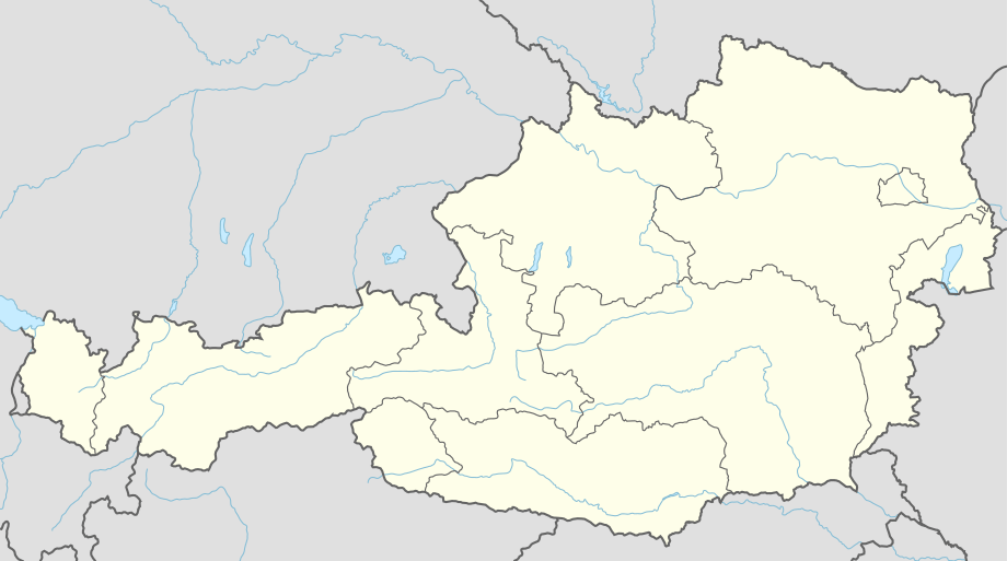 Rohr im Kremstal Location within Austria | |
| Coordinates: 48°04′00″N 14°11′24″E | |
| Country | Austria |
| State | Upper Austria |
| District | Steyr-Land |
| Government | |
| • Mayor | Walter Ölsinger (ÖVP) |
| Area | |
| • Total | 13.61 km2 (5.25 sq mi) |
| Elevation | 346 m (1,135 ft) |
| Population (2018-01-01)[2] | |
| • Total | 1,374 |
| • Density | 100/km2 (260/sq mi) |
| Time zone | UTC+1 (CET) |
| • Summer (DST) | UTC+2 (CEST) |
| Postal code | 4532 |
| Area code | 07258 |
| Vehicle registration | SE |
| Website | www.rohr.ooe.gv.at |
Geography
Rohr lies in the Traunviertel in the center of the fertile Krems valley, where the Sulzbach flows into the Krems river.
About 6 percent of the municipality is forest, and 83 percent is farmland.
References
- "Dauersiedlungsraum der Gemeinden Politischen Bezirke und Bundesländer - Gebietsstand 1.1.2018". Statistics Austria. Retrieved 10 March 2019.
- "Einwohnerzahl 1.1.2018 nach Gemeinden mit Status, Gebietsstand 1.1.2018". Statistics Austria. Retrieved 9 March 2019.
| Wikimedia Commons has media related to Rohr im Kremstal. |
This article is issued from Wikipedia. The text is licensed under Creative Commons - Attribution - Sharealike. Additional terms may apply for the media files.