Rockingham, Georgia
Rockingham (also Sallie) is an unincorporated community and census-designated place in central Bacon County, Georgia, United States. It lies along State Route 32 to the east of the city of Alma, the county seat of Bacon County.[1] Its elevation is 194 feet (59 m).[2] As of the 2010 census it had a population of 248.[3]
Rockingham, Georgia | |
|---|---|
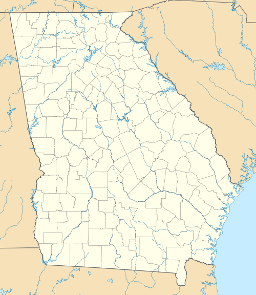 Rockingham Location within the state of Georgia | |
| Coordinates: 31°32′53″N 82°24′59″W | |
| Country | United States |
| State | Georgia |
| County | Bacon |
| Area | |
| • Total | 1.2 sq mi (3.1 km2) |
| • Land | 1.1 sq mi (2.9 km2) |
| • Water | 0.08 sq mi (0.2 km2) |
| Elevation | 194 ft (59 m) |
| Population (2010) | |
| • Total | 248 |
| • Density | 222/sq mi (85.6/km2) |
| Time zone | UTC-5 (Eastern (EST)) |
| • Summer (DST) | UTC-4 (EDT) |
| FIPS code | 13-66220 |
| GNIS feature ID | 332889 |
History
A post office called Rockingham was established in 1902, and remained in operation until 1939.[4] The community was named after Rockingham, North Carolina, the native home of a share of the first settlers.[5]
References
- Rand McNally. The Road Atlas '06. Chicago: Rand McNally, 2006, p. 29.
- U.S. Geological Survey Geographic Names Information System: Rockingham, Georgia, Geographic Names Information System, 1979-09-25. Accessed 2007-12-23.
- "Geographic Identifiers: 2010 Demographic Profile Data (G001): Rockingham CDP, Georgia". U.S. Census Bureau, American Factfinder. Archived from the original on February 12, 2020. Retrieved October 24, 2013.
- "Post Offices". Jim Forte Postal History. Retrieved 26 May 2019.
- Krakow, Kenneth K. (1975). Georgia Place-Names: Their History and Origins (PDF). Macon, GA: Winship Press. p. 191. ISBN 0-915430-00-2.
Municipalities and communities of Bacon County, Georgia, United States | ||
|---|---|---|
| City |  Map of Georgia highlighting Bacon County | |
| CDP | ||
| Unincorporated community | ||
This article is issued from Wikipedia. The text is licensed under Creative Commons - Attribution - Sharealike. Additional terms may apply for the media files.