Ratuwamai
Ratuwamai is a formed Newly municipality and rural town situated in south-eastern Terai in Morang district and Province No. 1 of Nepal. This municipality was formed merging six village development committee i.e. Sijuwa, Itahara, Jhurkiya, Mahadeva, Govindapur (Ward No. 1, 3, 4 and 7) and Baradanga (Ward No. 1, 4, 5 and 7) since March 2017. Total population is 55 thousand 3 hundred 80, area 142.15 km2 and the number of voters is 42 thousand 4 hundred. The main Occupation of this municipality is the Agriculture, most of the people earn money by farming. Sombare, Itahara,Laxmichock, Damravitta, Sijuwa, Sauntha, Shanichare, Govindapur, Kalyanpur and Jhurkiya are the most developing places in the Ratuwamai Municipality. The borders are as following: East Jhapa District, West Sunawarshi Municipality and Pathari-Sanischare Municipality, North Urlabari Municipality and South Bihar State India.
Ratuwamai municipality रतुवामाई नगरपालिका | |
|---|---|
 Ratuwamai municipality Location in Nepal | |
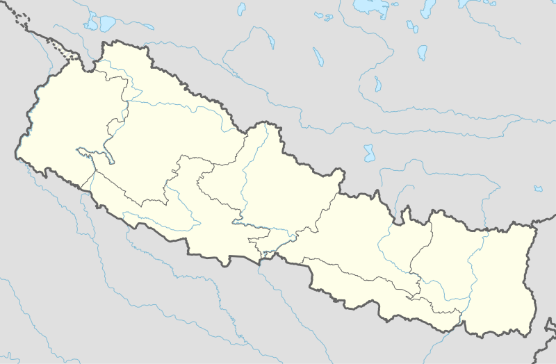
| Coordinates: 26.48°N 87.63°E | |
| Country | |
| Province | Province No. 1 |
| District | Morang District |
| Government | |
| • Type | Mayor–council |
| • Body | Ratuwamai Municipality City |
| • Mayor | Mr. Rabin Rai (NC) |
| • Deputy Mayor | Mrs. Damayanta Chudal (NCP) |
| Area | |
| • Total | 142.15 km2 (54.88 sq mi) |
| Population (2017) | |
| • Total | 55,380 |
| • Density | 390/km2 (1,000/sq mi) |
| Time zone | UTC+5:45 (NST) |
| Postal code | 56601 |
| Area code(s) | 021 |
| Website | official website |
References