Ramganj Upazila
Ramganj (Bengali: রামগঞ্জ) is an Upazila of Lakshmipur District in the Division of Chittagong, Bangladesh.[1] The seat lies at Ramganj town, which is 121 kilometres (75 mi) by road southeast of Dhaka.[2]
Ramganj রামগঞ্জ | |
|---|---|
Upazila | |
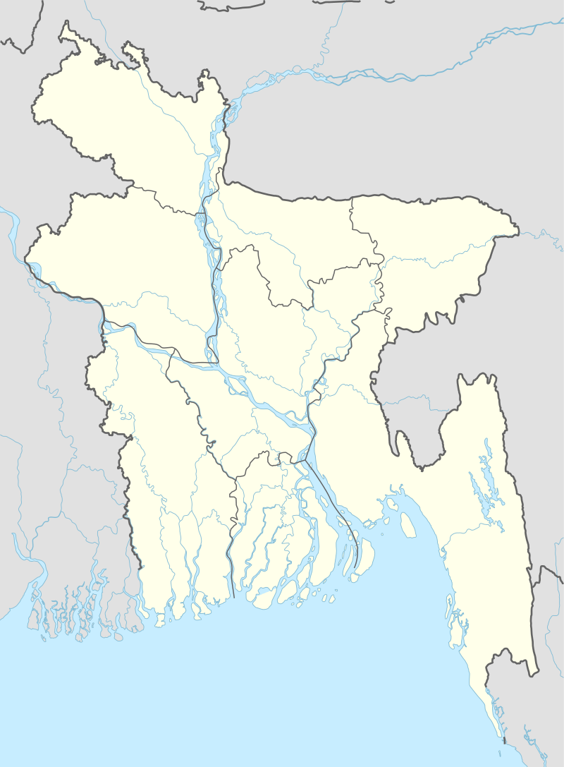 Ramganj Location in Bangladesh | |
| Coordinates: 23°6.3′N 90°52.5′E | |
| Country | |
| Division | Chittagong Division |
| District | Lakshmipur District |
| Area | |
| • Total | 169.31 km2 (65.37 sq mi) |
| Population (2011) | |
| • Total | 342,027 |
| • Density | 2,000/km2 (5,200/sq mi) |
| Time zone | UTC+6 (BST) |
| Website | ramganj |
Geography
Ramganj is located at 23.1056°N 90.8750°E.
Demographics
According to the 2011 Bangladesh census, Ramganj had a population of 342027. Males constituted 47.98% of the population, and females 52.02%. Of the total population, only 171270 people are over the age of 18, meaning that more than 52.6% of the population is younger than 18. Ramganj has an average literacy rate of 57.3%, 12.6 percentage points above the national average of 32.4%.[3]
Administration
Ramganj has 10 Unions, 1 municipality, 152 Mauzas/Mahallas, and 126 villages. The unions are Icchapur Union, Karpara Union, Kanchanpur Union, Chandipur Union, Darbeshpur Union, Noagaon Union, Bhatra Union, Bhadur Union, Bholakot Union and Lamchar Union.[1]
References
- Mohammad Nur Hossain (2012). "Ramganj Upazila". In Sirajul Islam and Ahmed A. Jamal (ed.). Banglapedia: National Encyclopedia of Bangladesh (Second ed.). Asiatic Society of Bangladesh.
- "Ramganj". Google Maps. Retrieved 9 July 2020.
- "Population Census Wing, BBS". Archived from the original on 2005-03-27. Retrieved November 10, 2006.
| Upazila/Thana: | ||
|---|---|---|
Capital: Chattogram | ||
| Bandarban District |  | |
| Brahmanbaria District | ||
| Chandpur District | ||
| Chattogram District | ||
| Cumilla District |
| |
| Cox's Bazar District | ||
| Feni District | ||
| Khagrachari District |
| |
| Lakshmipur District | ||
| Noakhali District | ||
| Rangamati District | ||